Seven short ski trips on the PCT
You are a fan of the PCT. You enjoy hiking it along ridges and through dense forests. It is great to be out there knowing you could follow it all the way to Mexico or up to Canada. But now it is winter. Your beloved trail lies buried under snow, unusable until spring. Or is it? Let me suggest seven easy places where you can ski, or snowshoe, right over the trail. (see map at bottom)
1) Near Mt. Ashland. (Sno-Park pass required)
Take the Mt. Ashland ski road up from highway 99. Park at the large, plowed turnout shortly before the PCT crosses the road. There is no parking at the crossing, and you will not want to cross the road because of the traffic and the high embankments. Say Hi! to a snowmobiler, then set off down the forest road a short distance the well marked trail. Spend a couple hours in the trees enjoying their green surroundings. As you go east, the terrain drops off, so turn around where you feel comfortable. What you go down, you must go back up!
2) Hyatt Lake/Resevoir (free parking?)
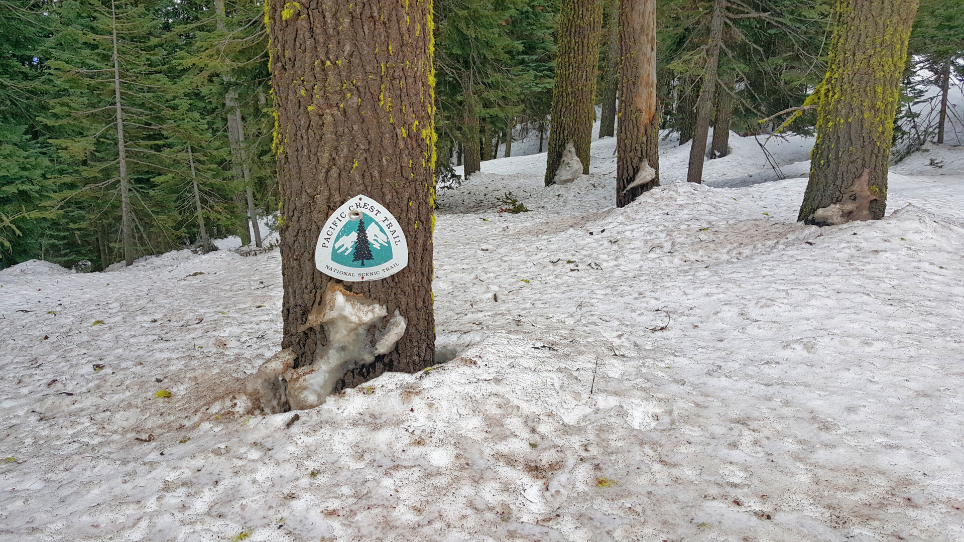
From highway 66 turn north on East Hyatt Lake Road. Go a short way past the PCT to the parking lot. From there you can go east and west on the trail as well as out on the lakebed, which is usually drained and plowed for skiers and snowmobilers. There are also plenty of wide, smooth roads for you to travel on. Climb high enough on the trail and you can gain a view of Mt. McLoughlin to the northeast.
3) Dead Indian Road (free parking)
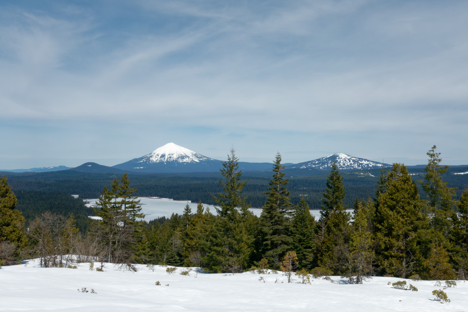
This oddly named road traverses over the Cascades to connect I-5 to Klamath Falls. Right where the PCT crosses is a large, plowed area. Ski south or north from there. It is quite popular to both snowshoe and ski to the Brown Mountain Cabin that is less than 2 miles north. Take off your gear, throw some wood in the stove, and enjoy your lunch! Dream about finishing that section all the way to Canada next summer!
4) Hwy 140 (Sno-Park pass required)
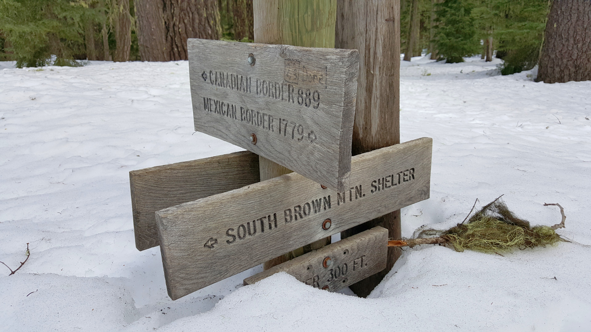
There is a huge paved parking lot on the north side of the highway. Turn on the plowed road after you see the sign, “Summit Trailhead.” From the northwest corner of the lot, go northwest 100 yards on the connector trail to the PCT. You can go south a quarter mile to the highway or you can go north for a few miles until you decides it is too difficult. Bonus points if you are able to navigate the snow berms and head south of the highway to the undulating lava fields!
5) South Crater Lake
This is the most spectacular of the short trips and the avid skier has several opportunities. First, you can park on Hwy 62 for free at a plowed pullout on the westbound side right where the PCT crosses. Climb up the ramp in the snow berm that the plow crew thoughtfully makes for skiers. Head south on an easy, almost always well-grooved track. The terrain is very gentle, almost level.
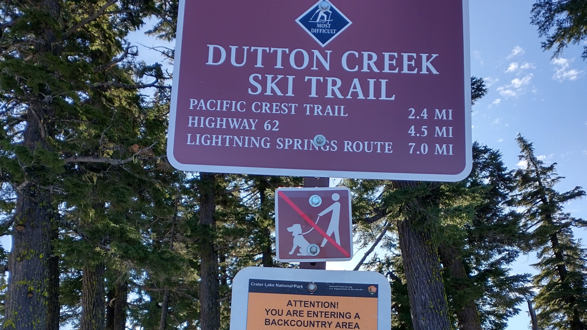
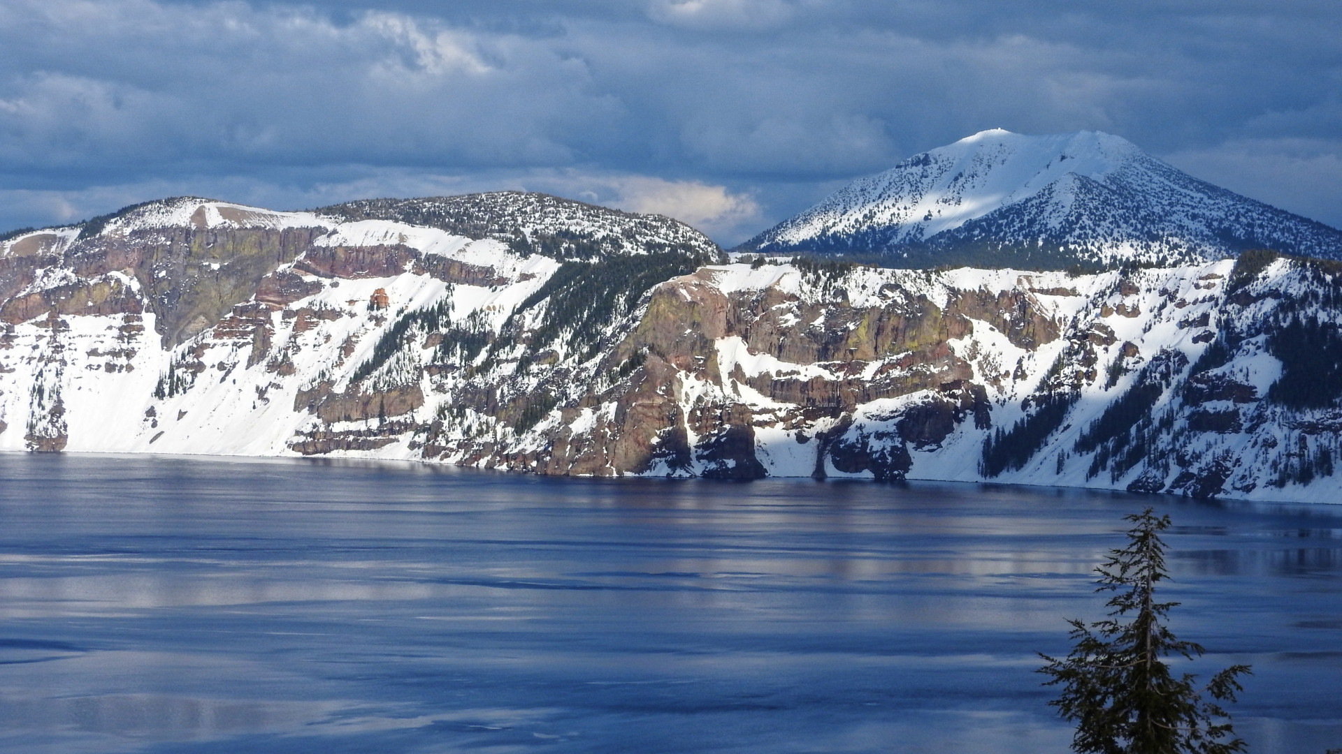
Second, if you are experienced with navigating by GPS, you can head north to the rim about 4.5 miles away and 800 feet up. (This segment is called Dutton Creek Trail) This could be an opportunity for someone else to drop you off then meet you at Rim Village. (Park pass required) There, you have a third option to ski the PCT alternate trail around the rim. You can go clear around the lake in a couple or three days (see elsewhere in this blog for write-ups on that), or you can turn around like most people do before you reach the Watchman a couple miles away. Realize that the clear lake takes on the color of the sky, so if you can coordinate with some nice weather, you are in for a visual treat!
This photo is looking east towards Mt. Scott.
6) Willamette Pass, Hwy 58 (free parking)
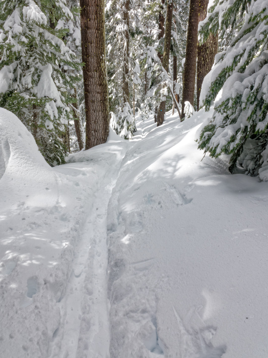
Park at the ski lodge and take the connector trail east a quarter mile to the PCT. This is a popular segment and so you will probably be in tracks, which it makes it easier to ascend the steady uphill to Rosary Lakes. On the south side of the highway, there is an Odell Lake overlook less than a mile away. The highway is very busy, so take off your gear and cross it at the road to Shelter Cove. Then climb the berm and go west 100 yards to the trail.
7) Santiam Pass, Hwy 20 (Sno-Park pass required)
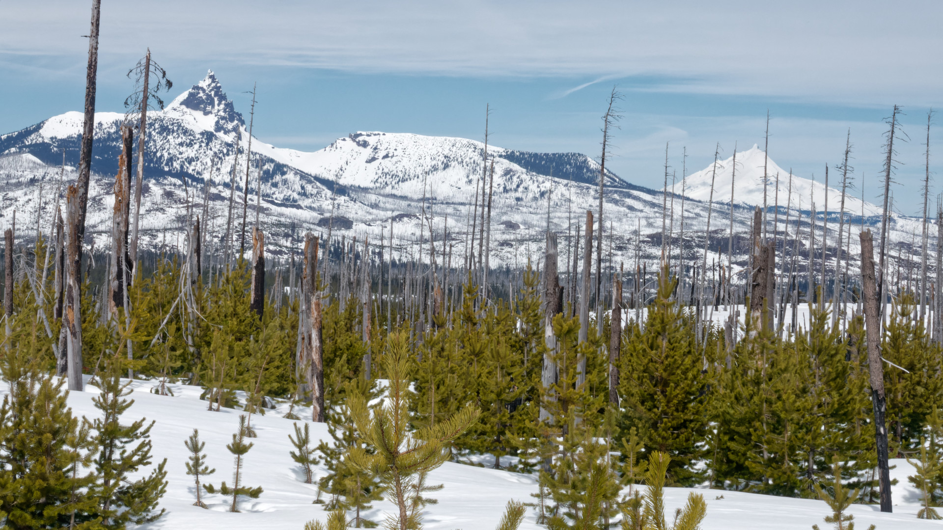
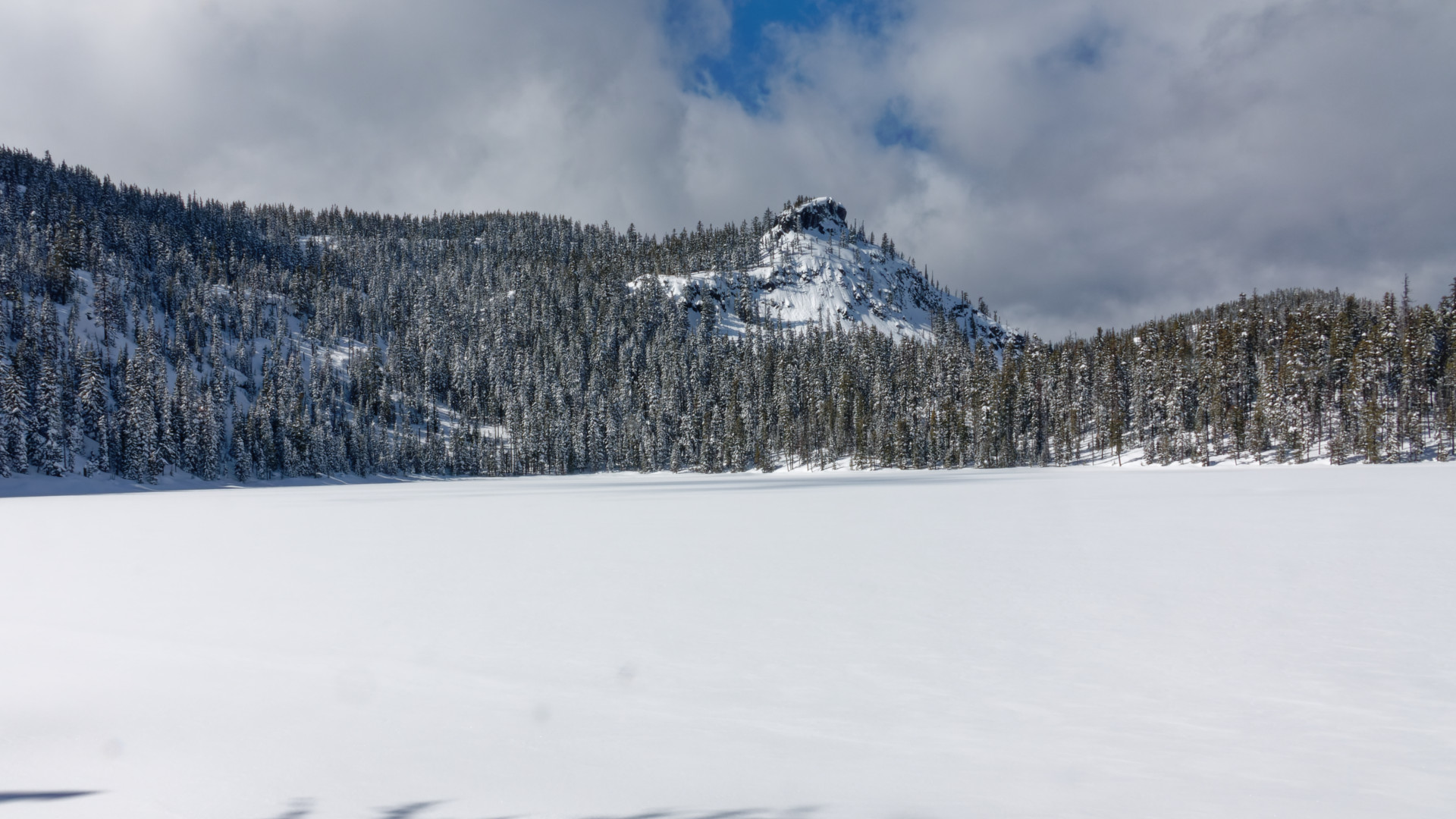
Our final destination lies high in the Cascades on the wide open plateau at Santiam Pass. There may be other places to park, but the best may be Ray Benson Snow Park. It is huge, well maintained, and has outhouses and a large warming hut. Head to the PCT, which lies just to the east, then explore the many other trails and roads in the area. It is possible to see Mt. Jefferson and Three Fingered Jack to the north as well as Mt. Washington and the Sisters to the south.
