Day 20.1-7 Willamette to Santiam Pass
Thursday
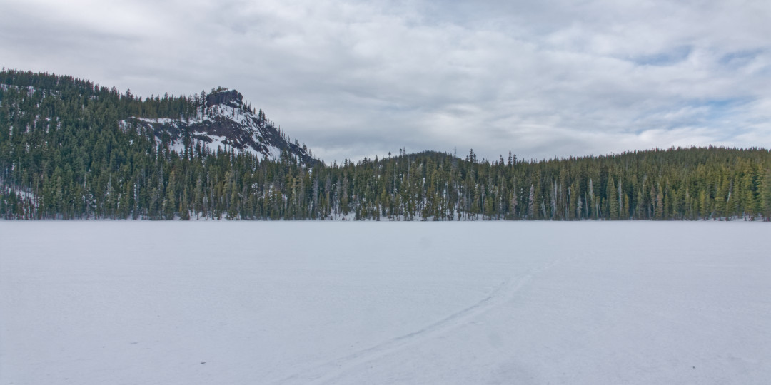
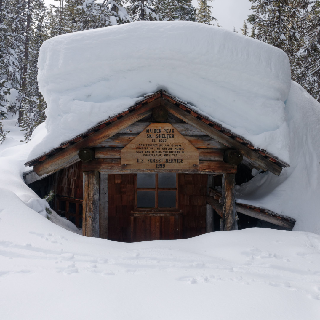
Day 1 of my most ambitious ski trip yet. Starting at Willamette pass (near shelter cove for PCT’ers) I ascended past Rosary lakes to the Maiden Peak cabin (photo from last year because I had lots of brain farts during photo moments on this trip, sorry). It was a late start so I stayed the night but I would regret it the next morning.
My goal is to fill in my gap that ends at government camp by Mt hood. Those who follow this little nook on Instagram know I have been trying to make a state long ski route on or near the PCT. So far so good but not always easy. Snow backpacking is MUCH different than summer. My wife has sewn some new gear for me to solve different problems. For example, she shortened my Pranas and made built in nylon waterproof gaiters. Worked perfectly!
Friday
Day 2. Lo 35. Hi 45. 19 miles.
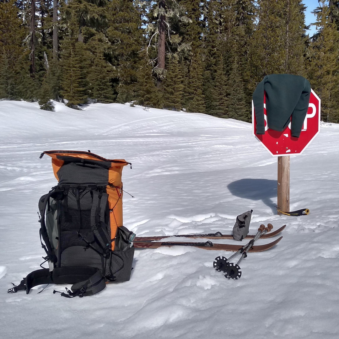
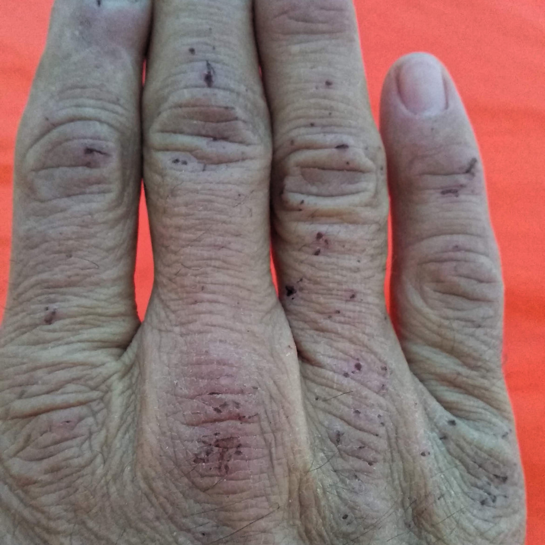
Yesterday, I hinted at a mistake. Well, this morning I experienced it. Despite the low on my thermometer at only 35, it was still cold enough to solidify a crust. I carried my skis as I walked in a sled track until the PCT hit the Maiden Peak loop. It turned east, but I needed to keep going north into untracked territory. Immediately the problems began. Descending the back side of the mountain from the cabin would not work on skis, so I soon removed them again. Postholing and catching branches on the steep mountainside soon tore up my hands. (I wanted to keep my gloves dry and untorn.)
I had already suspected my route would not include up and over Twin Peaks, so I headed for the snowmobile trail along Waldo Lake. As I descended the last bank onto the road, my ski twisted off and the gray plastic piece on the toe of my right binding broke. Oh no! I thought my trip was done! But it fit back into place until 1pm, when I lost it for good. I discovered my binding still worked, but I had to manually push the lever with my pole, instead of stepping it open and shut with my boot.
I began making up lost time as I glided on the wide road under bright high clouds. I ended the day with almost 20 miles, which is slow for hiking, but really good for skiing.
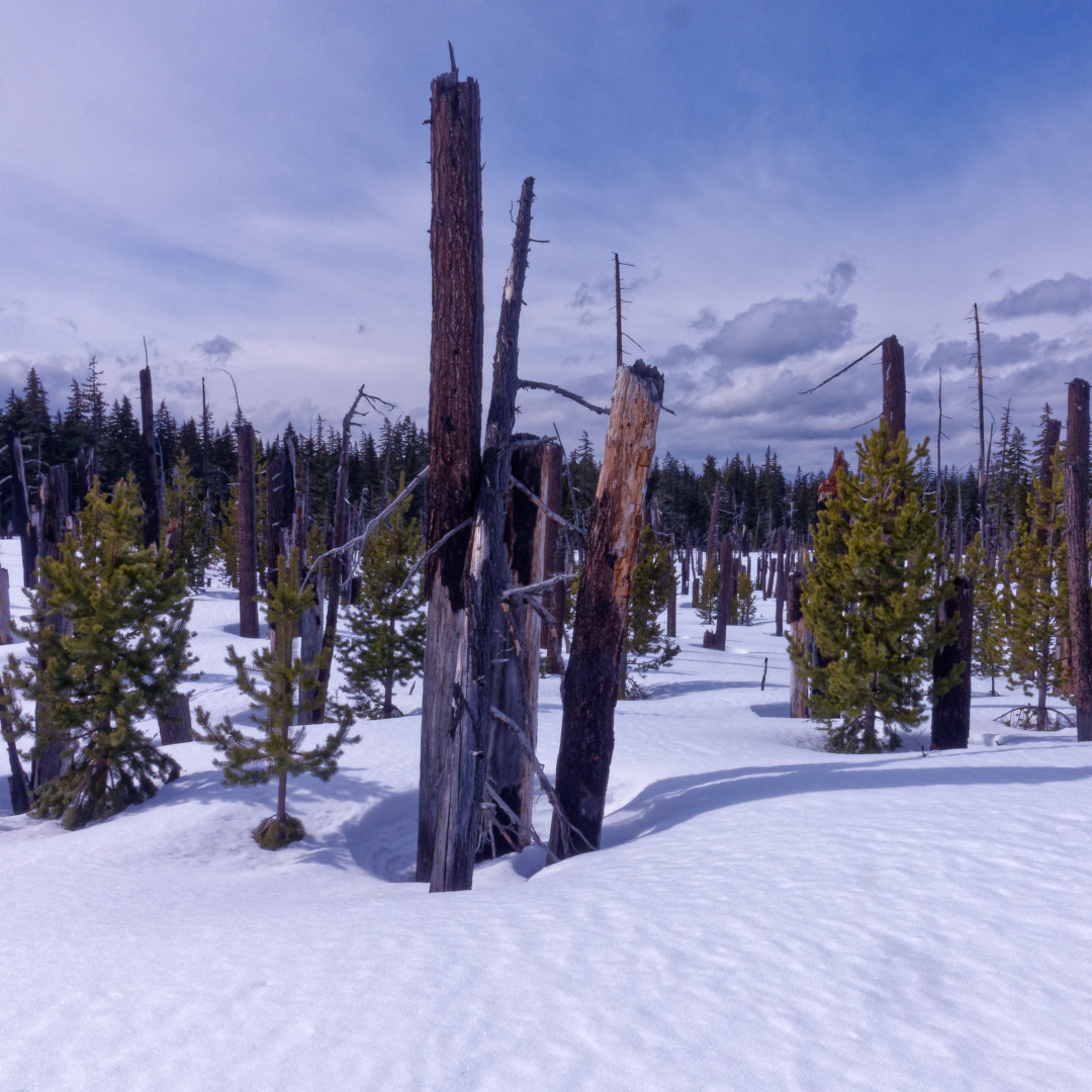
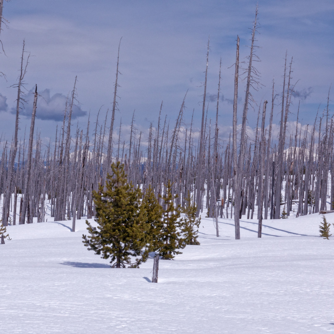
I went through a big burn area, and as you can tell, it is not pretty nor inspiring, but it makes for easy navigation. In the photo with the thin trees, you can see South Sister peeking through on the left and Mt. Bachelor on the right. As I made my way to Irish Lake at the boundary of Sisters Wilderness, I gratefully enjoyed the wide open feeling and sang my way through my growing repetoire of songs and hymns. This is why I am out here! Just me and my Father!
I followed the PCT (although I could never actually see it or signs) through a valley of small lakes. Then when the trail veered left up the ridge, I tried to contour between 5600 and 5700 feet. I knew the trail cut into the steep side of Irish Mountain and steep sidecutting is to be avoided when skiing. So I went in and out and up and down over the feet of the east-west ridges as I made my way north. A couple more hours and a few more miles brought me to a campsite just before dark.
Note: Taylor Lake had an open area from the meltwater from Irish Lake. Whenever I can collect pre-melted water I do it. It saves a lot of time melting snow at about the rate of 10 minutes per pint, including setup/teardown time of my alcohol stove. Maybe someone has a better idea, but I think God gave me this brilliant invention of wire tying my stove pot to pole. I kept my skis on so I would not break through the lake crust and yet be able to reach down to the water level.
Saturday
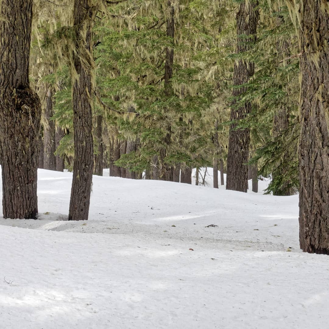
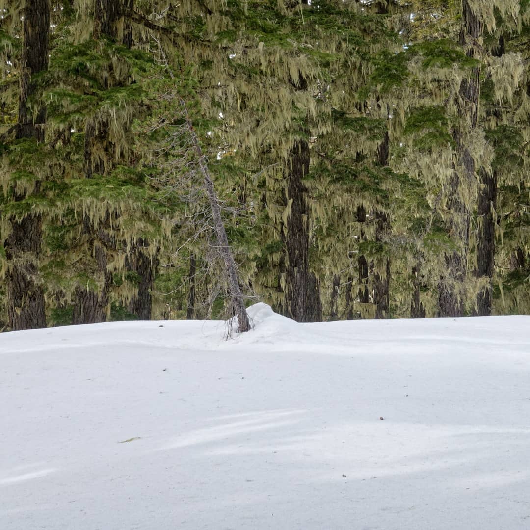
Day 3. Lo 25. Hi 40.
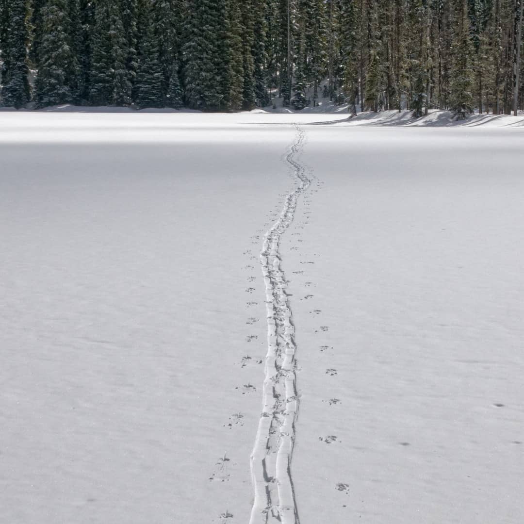
Today’s pictures are not spectacular but fairly representative of typical forest conditions—very green! What is missing are photos of the long section to the east of the blue PCT. I was trying to stay below the steep sidecuts. The PCT is not made with winter skiers in mind. A level trail on steep terrain (over 40 degrees) becomes just as steep with a few feet of snow covering it. Unless the snow is almost perfect in depth and traction it is very difficult to traverse with any speed or safety. (Speed is important when figuring food supplies.) The trees in this section were 3 to 4 times as thick and the slope was usually 30 degrees in any direction.
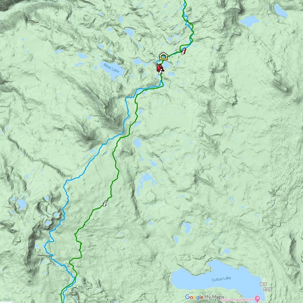
It was cold enough again last night to form crust, but a couple inches of powder fell. That helped a lot until softening in the afternoon. But not everything softened. You’ll notice a little avalanche symbol on the map. That is where I chose to climb a wide soft spot up to Cliff Lake instead of staying in the heavily shaded sidecut drainage. Not sure which was ultimately better because I slid back down 50 feet then took off my skis and kick stepped my way up. It is spots like those that make me doubt I will ever find a way that will be useful to a less experienced skier.
After drying out a bit in the dilapidated shelter I headed north several more miles to a campsite for the night.
Sunday
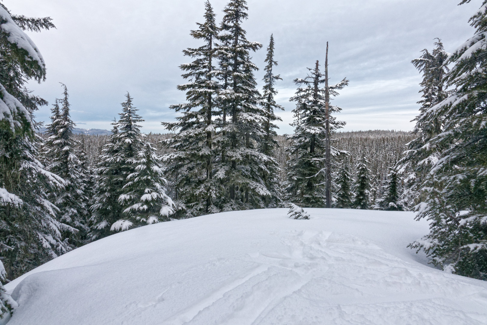
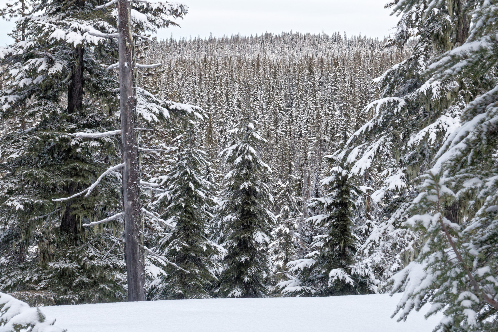
Day 4. Lo 20. Hi 40.
I hate my tent! I know it wasn’t meant for winter camping, but somehow I have been making it work. Now, on a longer trip with this warm/cold cycle, the cramped conditions are making it difficult to deal with the moisture. My boots are like swimming pools during the day, which is to be expected from sweating inside waterproof boots with non-removable insulation. I wear the thinnest nylon socks I can find. But I thought I would solve this problem with those little hand-warmer thingys. Nope. Useless. My boots are frozen rocks I need to thaw out over my stove every morning then warm them up with feet after skiing for at least half an hour. When I get the chance, I will thoroughly dry them and try putting my feet in plastic bags to keep my boots dry and flexible.
Anyways, today the graying trend (and the steep hills as I hope you can see in the 2nd and 3rd pics) continued until the atmosphere erupted in snow and solid fog. It was not a white-out as I approached Wickiup Plain, but it was so gray I could not tell the ground from the air or if I was about to go up or down. I had to look at the tips of my skis or off in the distance at the hazy hills.
I had been looking forward to this spot for years. I wanted to approach South Sister in the winter sun like I had approached it in the summer. The view is big and awesome! Oh well, it was not to be.
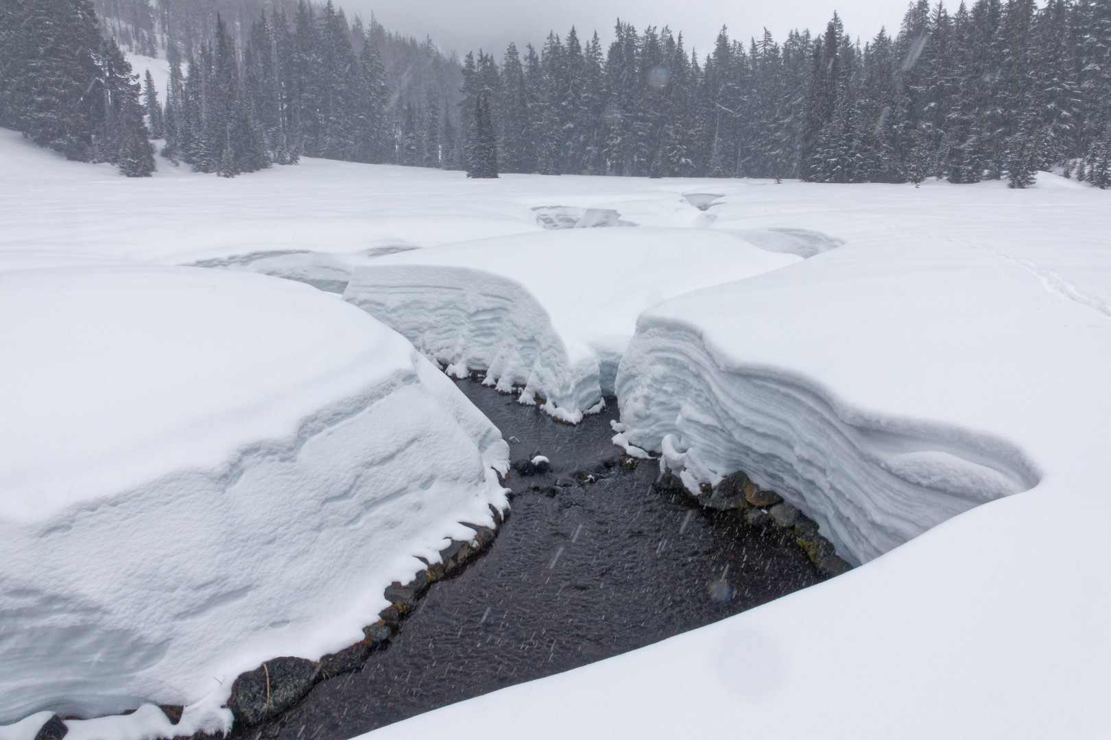
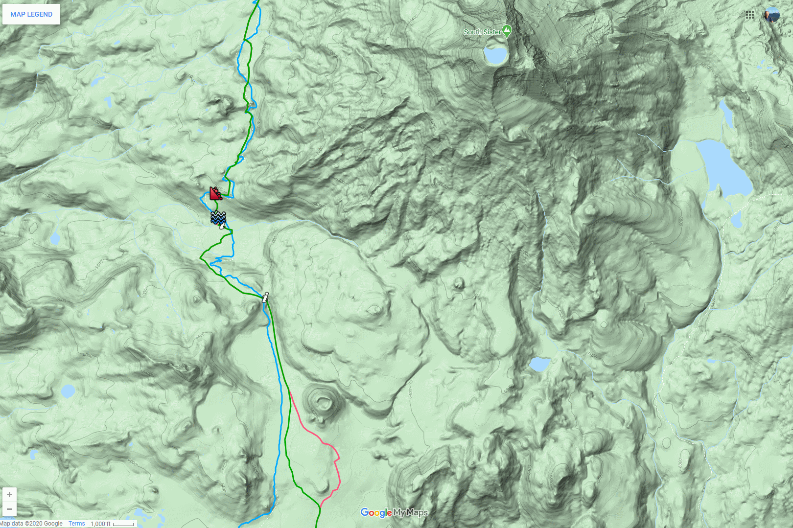
I entered the “gateway” at the narrow head of the plain (first “i” on the map) and I began the real wilderness segment I had been (somewhat nervously) planning for. Immediately the first challenge presented itself in the form of Mesa Creek (first pic). Hikers will recognize this as a summertime dribble through a green meadow but now it was six inches deep, up to ten feet wide, and flanked by almost 5 foot vertical snow walls. This was to be expected up by Mt. Jefferson, but not here!
On the map, I have a little water icon I use for bridges, but what I found was just a log and some branches covered with a foot of snow. I kept my skis on, moved forward gingerly onto the bridge, grabbed a branch on the opposite side, then took off a ski. I promptly poked a foot all the way through the snow! Piece by piece I threw my gear onto the other side then hoisted myself up.
No sooner was obstacle one conquered than obstacle two presented itself. The forest with the PCT was impenetrable so the avalanche icon marks where I sidecut very carefully up the 60 degree slope.
At the top I found a pair of ski tracks!! No way!! Not out this far!! I have never seen tracks more than a couple miles from roads or trailheads. These were almost 15 miles south of McKenzie Highway! I want to meet that crazy person who skis as far out as I do!!
Monday
Day 5. Lo 15. Hi 40.
Coldest night of the trip, but I slept warm and dry in my cramped tent, and the cold meant CLEAR! Today was the day of pictures!
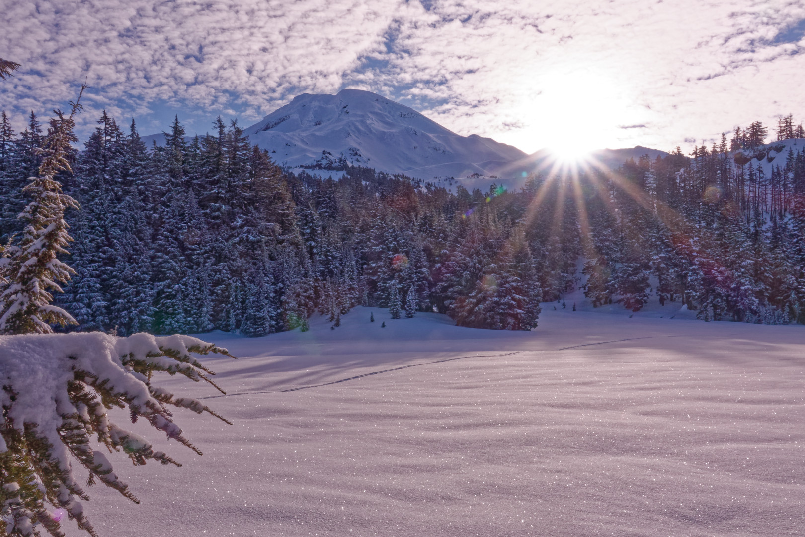
Looking back at South Sister
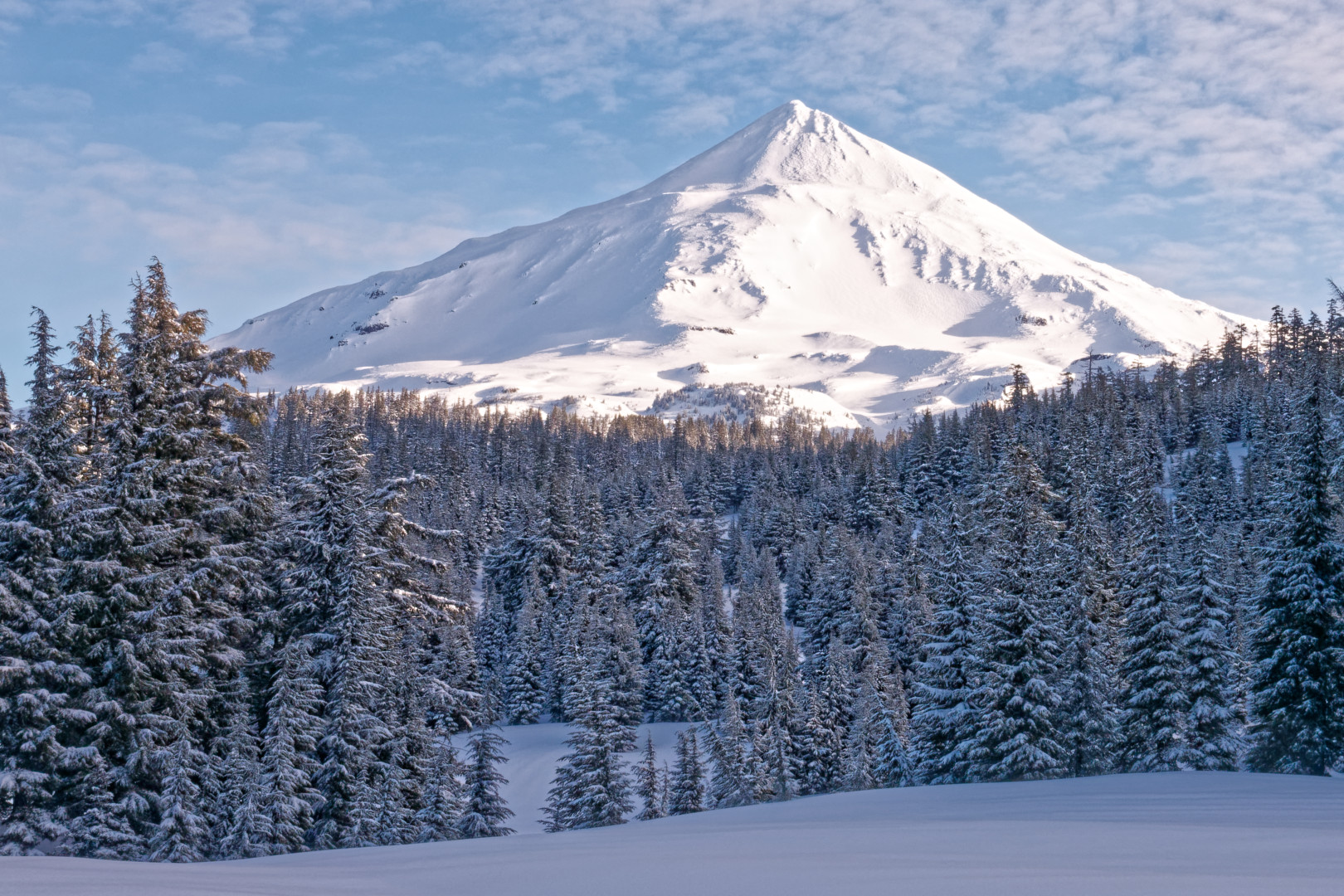
Looking ahead to Middle Sister
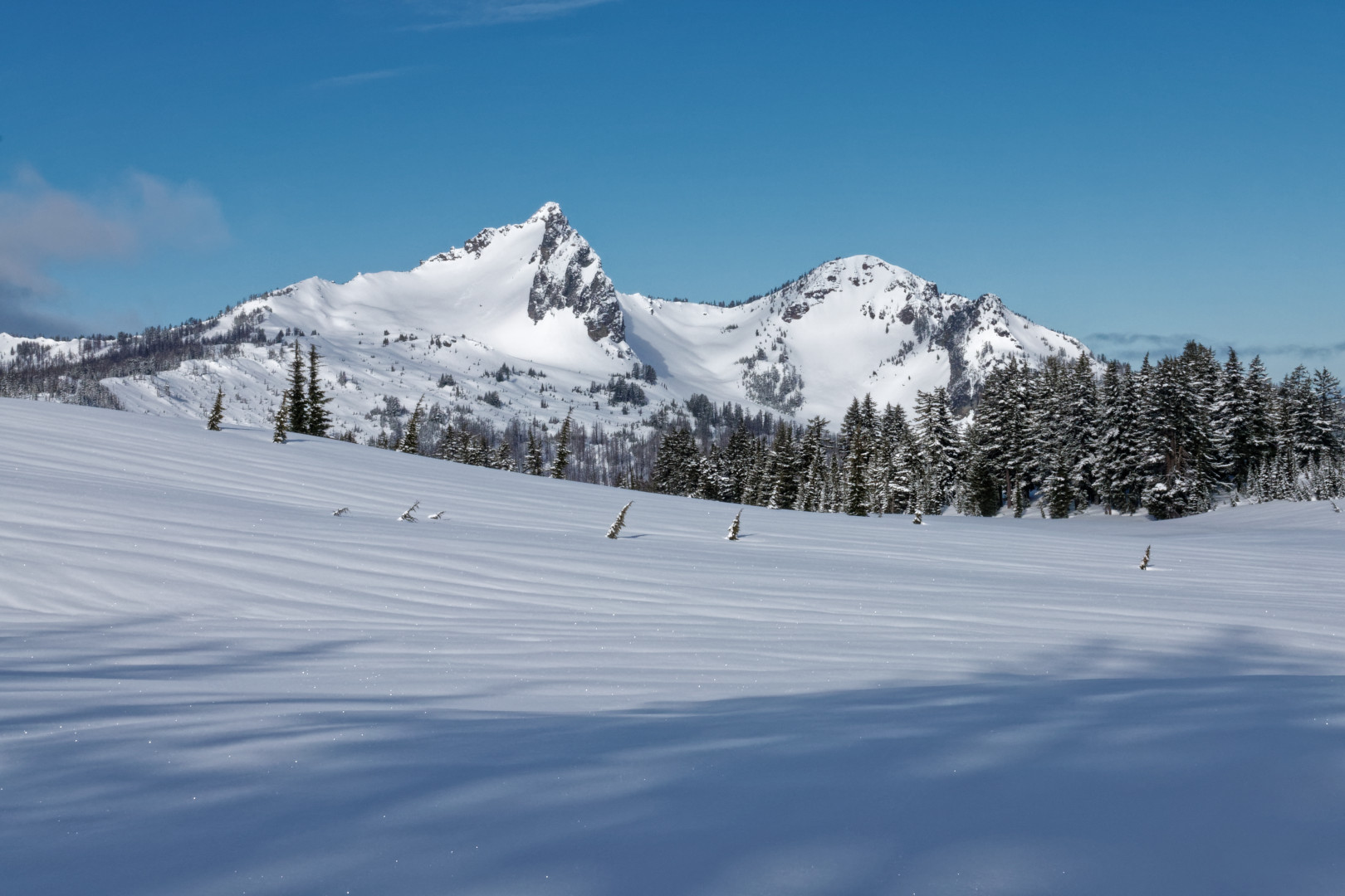
Looking west to The Husband
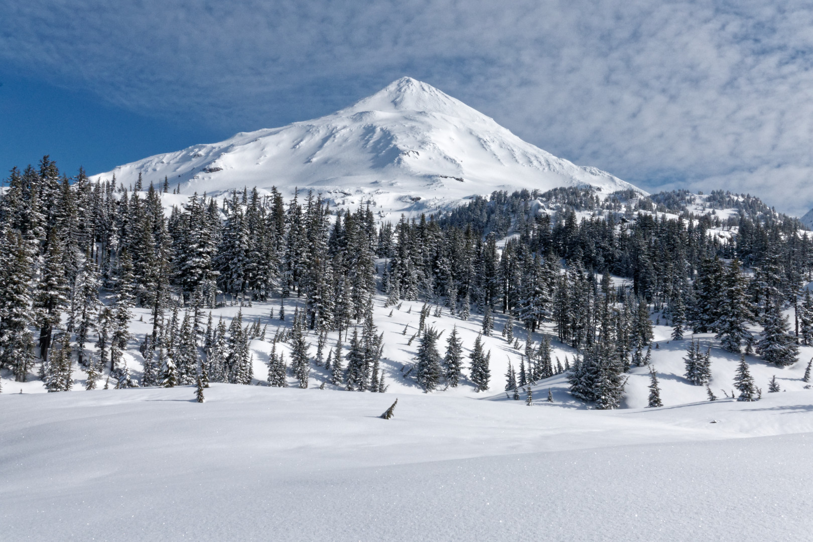
Middle Sister
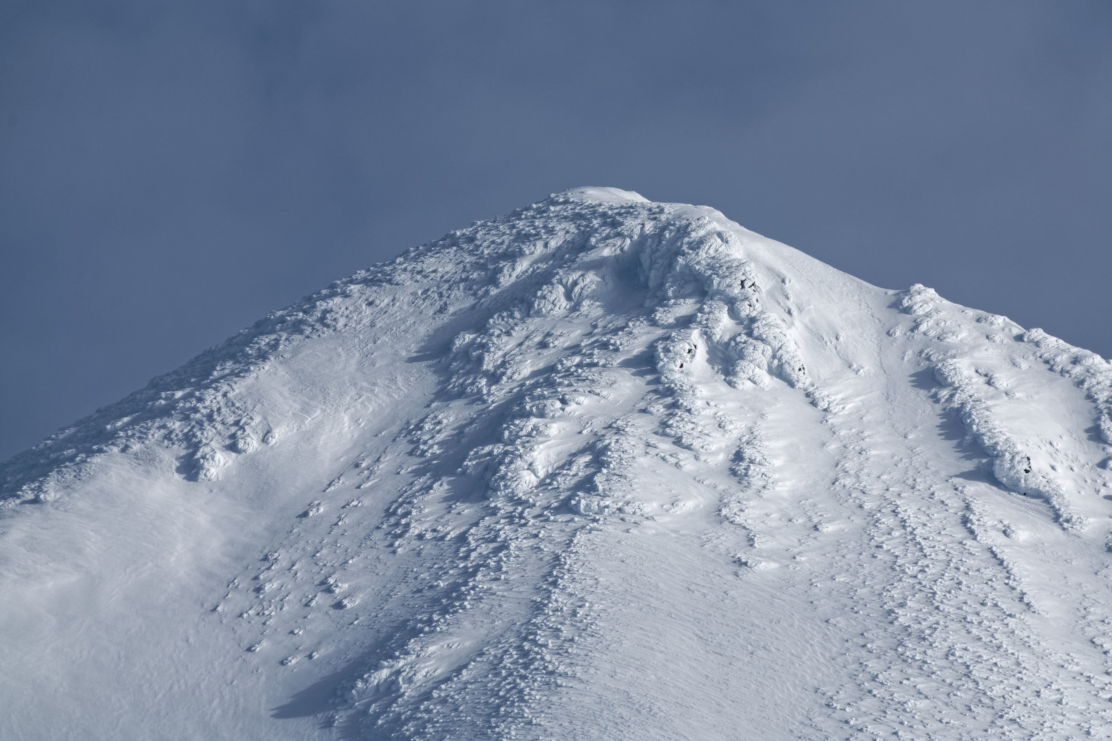
Surreal closeup of Middle Sister’s summit
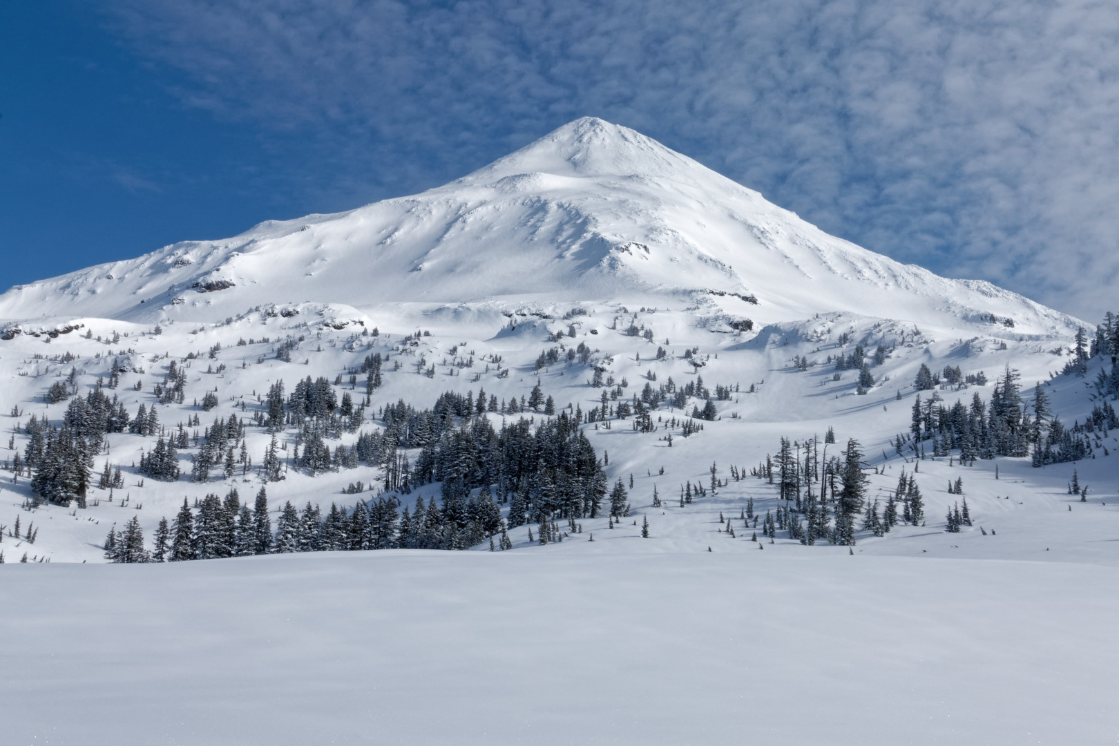
Middle Sister again
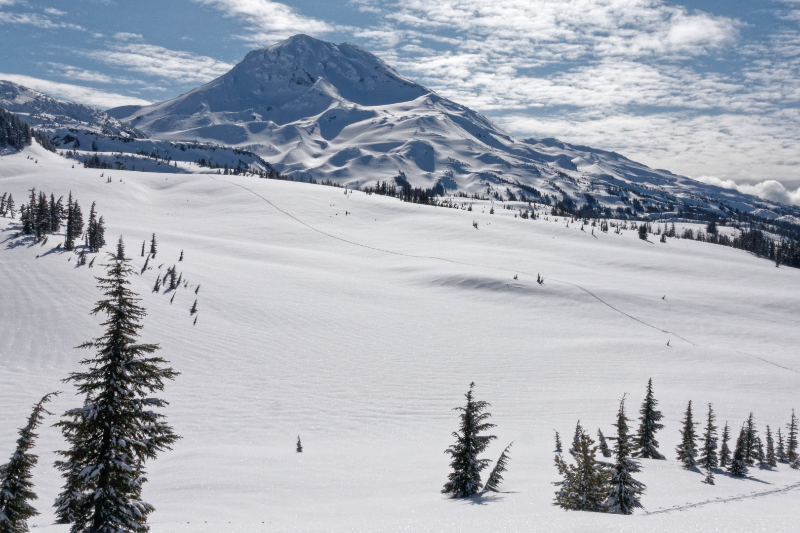
Looking back at my track and South Sister
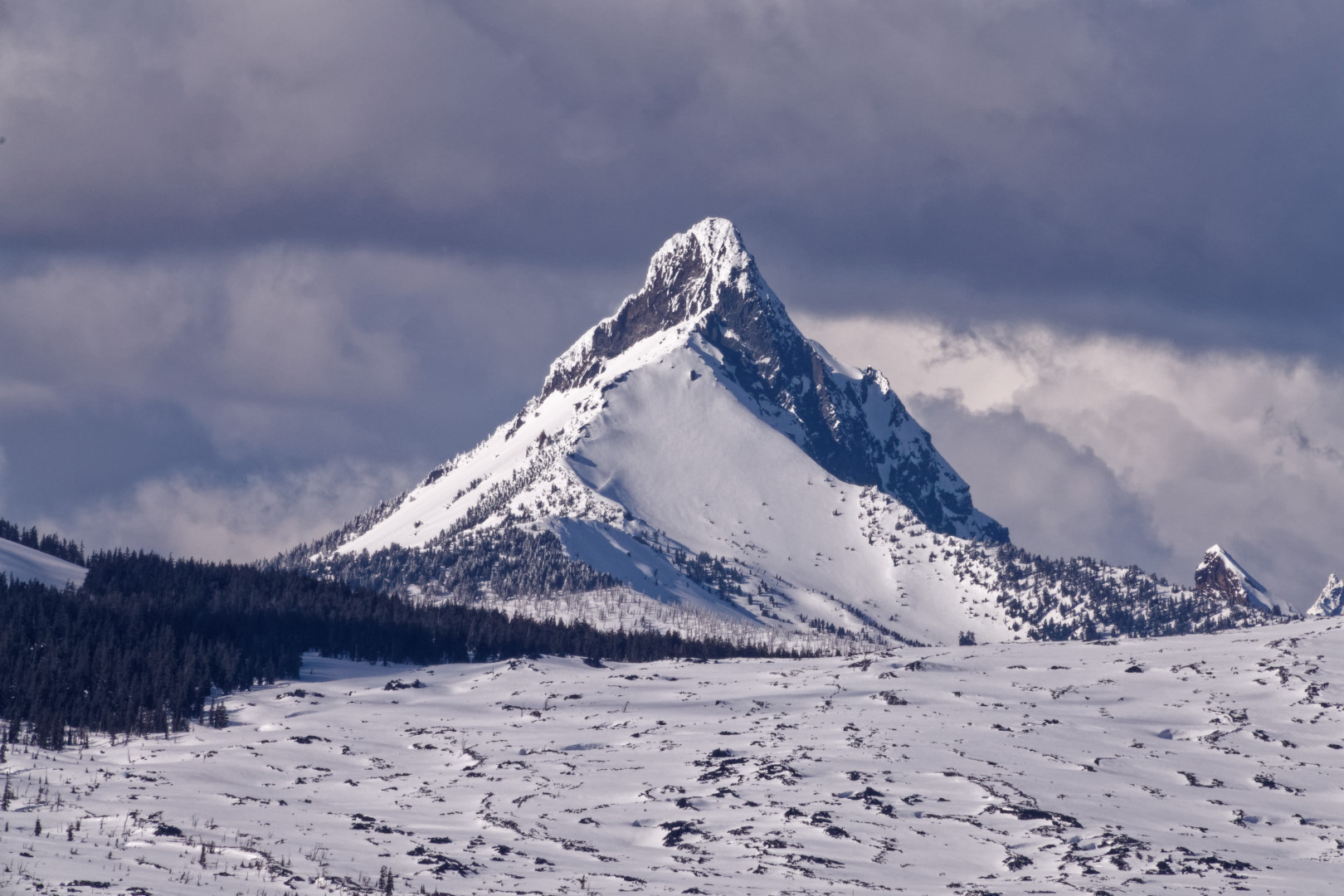
Mt. Washington in the late afternoon
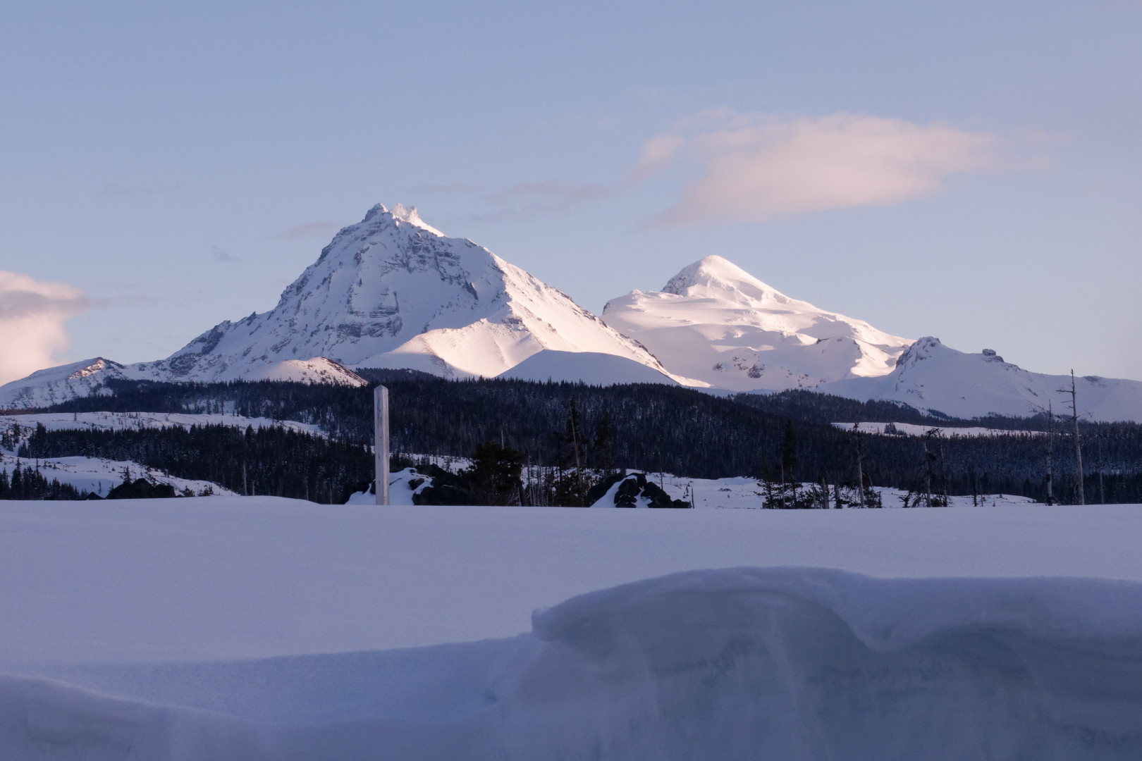
North and Middle Sisters in the evening
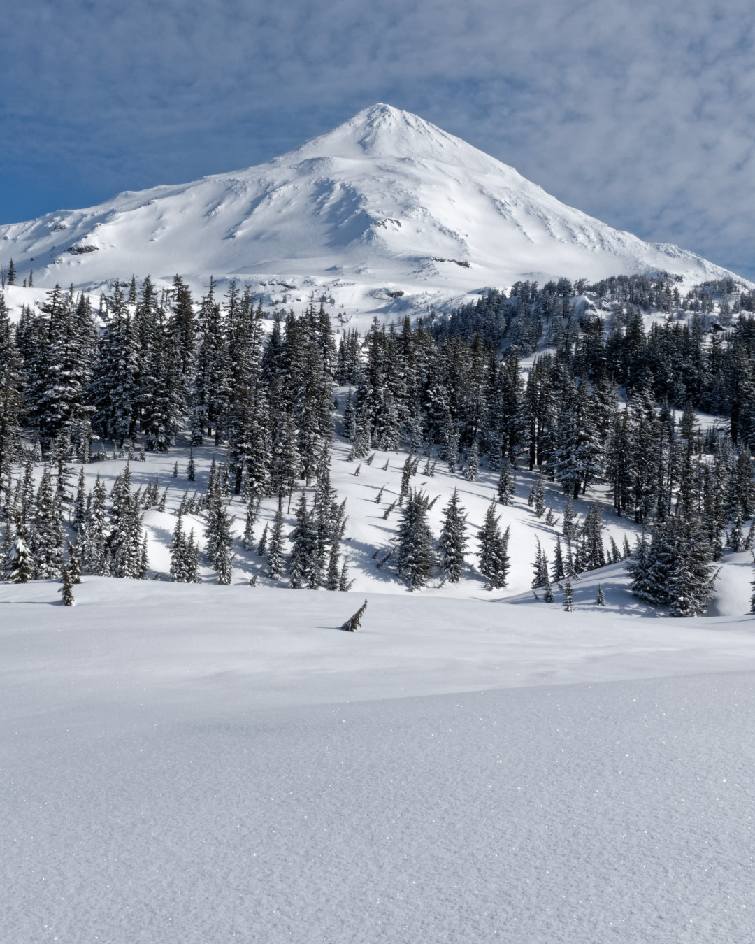
Middle Sister
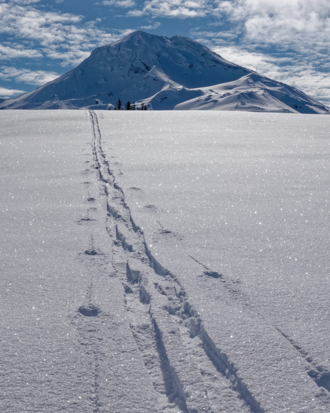
Tracks from South Sister
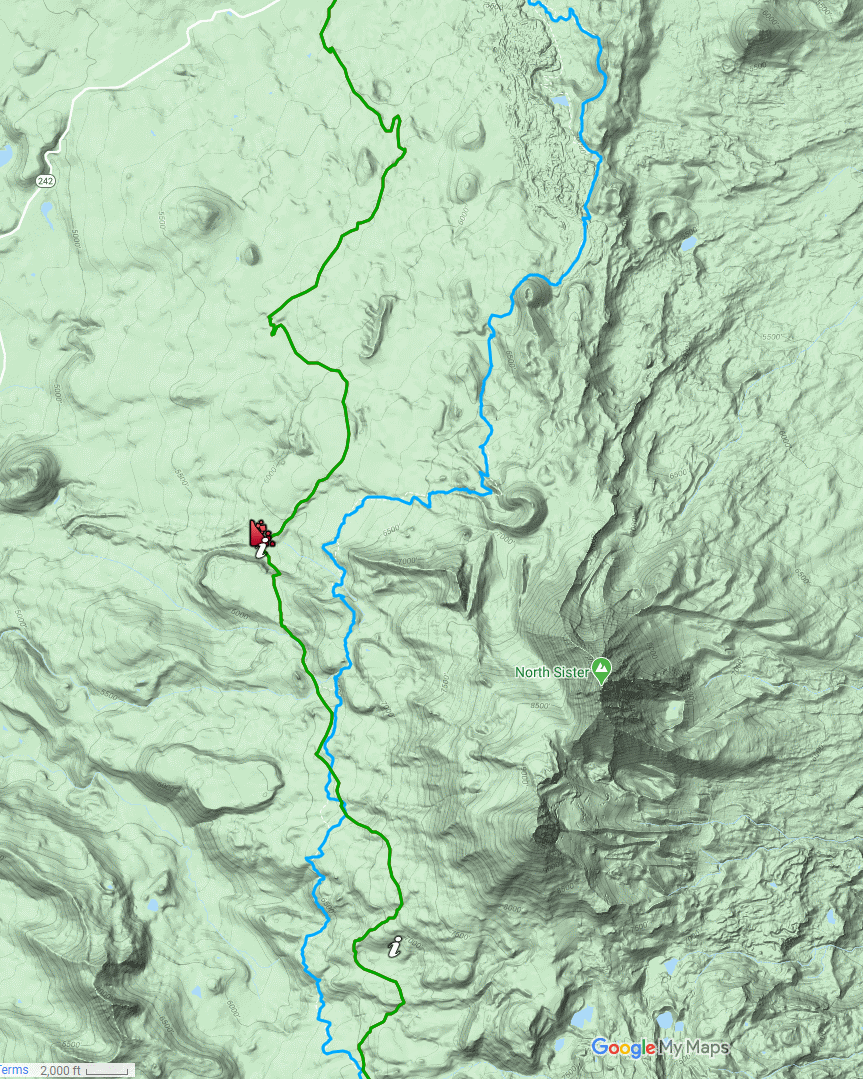
Covered almost 20 miles in spite of all the photos and dead ends on the lava field
Instead of following the PCT down through the trees then back up to the snowy plateau, I went up then down. That is where most of the pictures come from. You can see my green route to the right of the blue PCT in the map.
I crossed over the PCT and went down to the lava fields because I knew going around North Sister would be like traversing Mordor. What I did not count on was being held prisoner by the deep corniced drop offs that flanked almost the entire perimeter. At the red icon I kick stepped 20 feet up to the field, but then you can see a big left turn above it. So much for staying close to the PCT.
In spite of being repeatedly driven to the west, I made it to the highway and then went 2 miles back up to the observatory before dark.
I took a final picture just as my battery was dying (I have an incredible 30 minute video of the inside of my chest pack!!). It shows a post in front of North Sister. Tomorrow I will share an almost identical perspective near sunrise. The snow in the foreground is about 5 feet deep. I am standing on bare pavement near the outhouses.
Tuesday

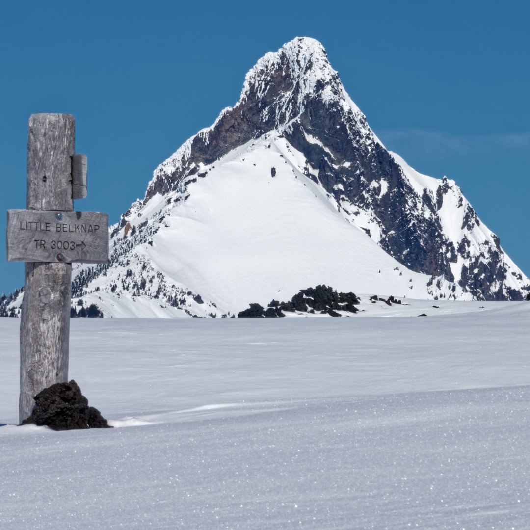
Day 6. Lo 25. Hi 45.
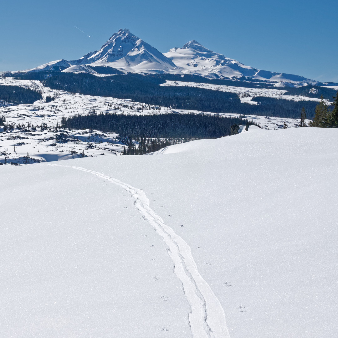
It took three times over two winters to finally make it to this point. As I looked back on The Sisters I considered my ski track that now stretched about 70 miles south to Willamette Pass. The 8+ mile segment west of those mountains that caused me so much concern had been the highlight of my trip. Going through the Mink Lakes area had been more difficult!
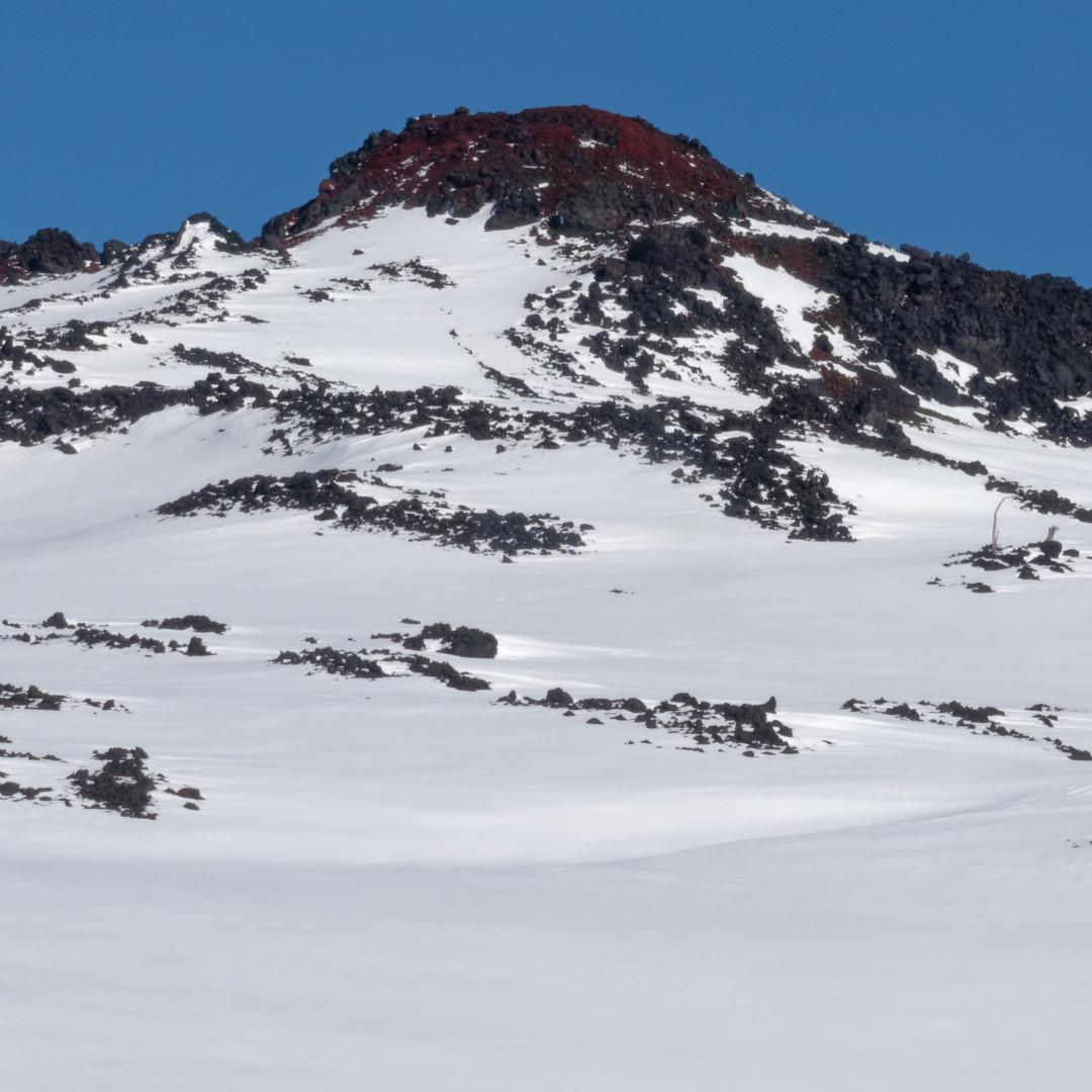
After losing almost an hour trying to find a way across a gorge through the lava, I headed up the Little Belknap cinder cone. The lava at its small peak is really that red! After encountering one of the only PCT signs I had seen on the trip (with Mt. Washington in the background), I headed over the crest.
The slope was gradual and smooth with only scattered trees. I looked forward to getting to camp for a late lunch. However, I lost at least two hours trying to punch my way through the most difficult terrain I had ever encountered. The west foot of Washington was like a battlefield filled with foxholes and a tree was in the middle of each hole. My task was to fight branches, not slip in a tree well, and make it across sloped terrain all at the same time. This was a perfect example of ill-managed forest with small trees filling in the gaps between the big trees with fuel for fire season.
When you look at my track on the map you will notice I recommend a route farther west. Perhaps even the PCT would be better. In spite of being higher up on steeper ridges, satellite view shows less trees. I hope someone finds a better route and lets me know!
I finally reached Big Lake Youth Camp and my resupply. They were as hospitable as in the summer. Staff were staying in the PCT hut so they gave me a whole cabin near the bathrooms. I dried everything out, including my boots, and began planning the second section of my trip.
Wednesday
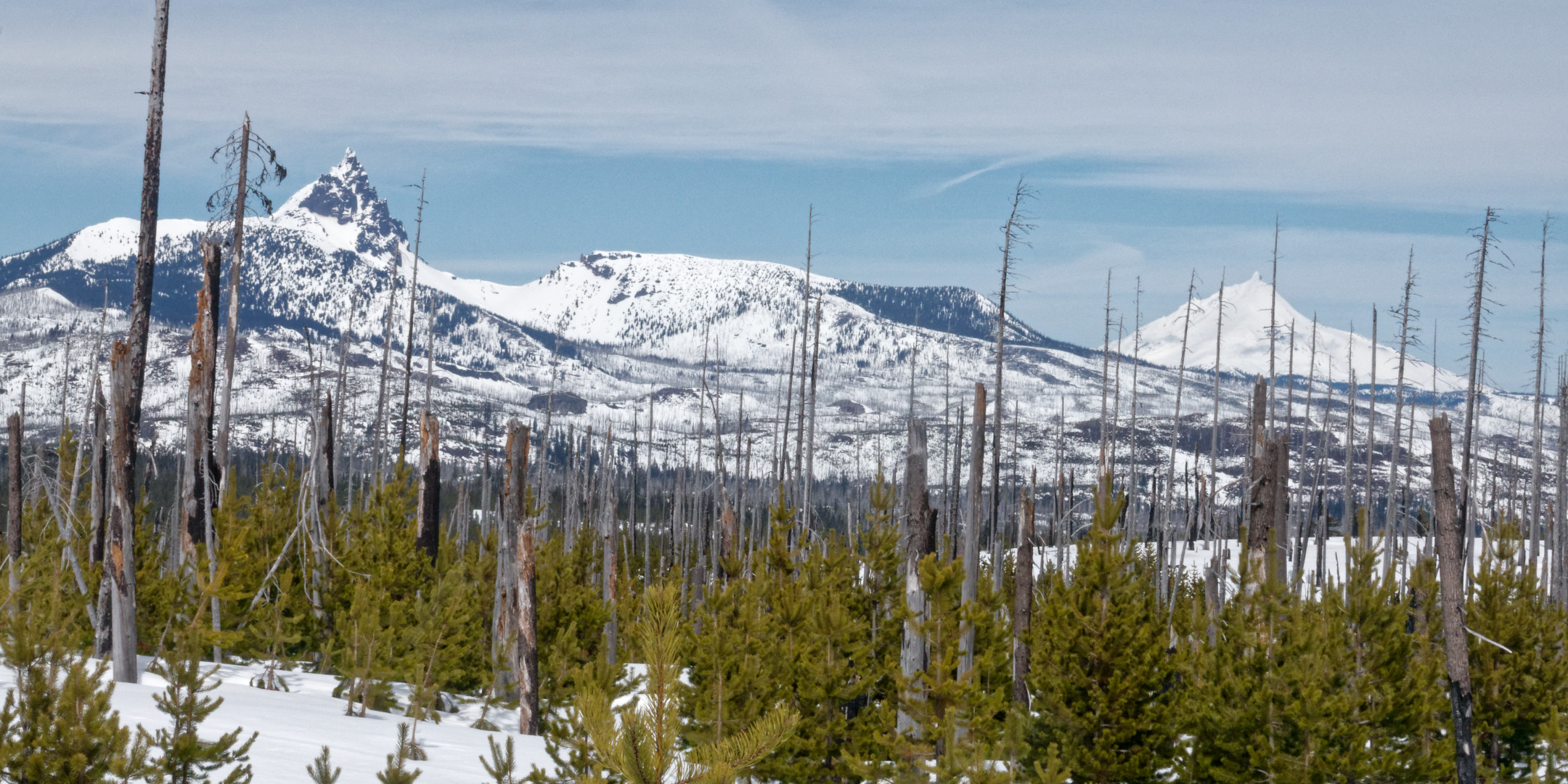
North to Three Finger Jack on the left and Mt. Jefferson in the back right
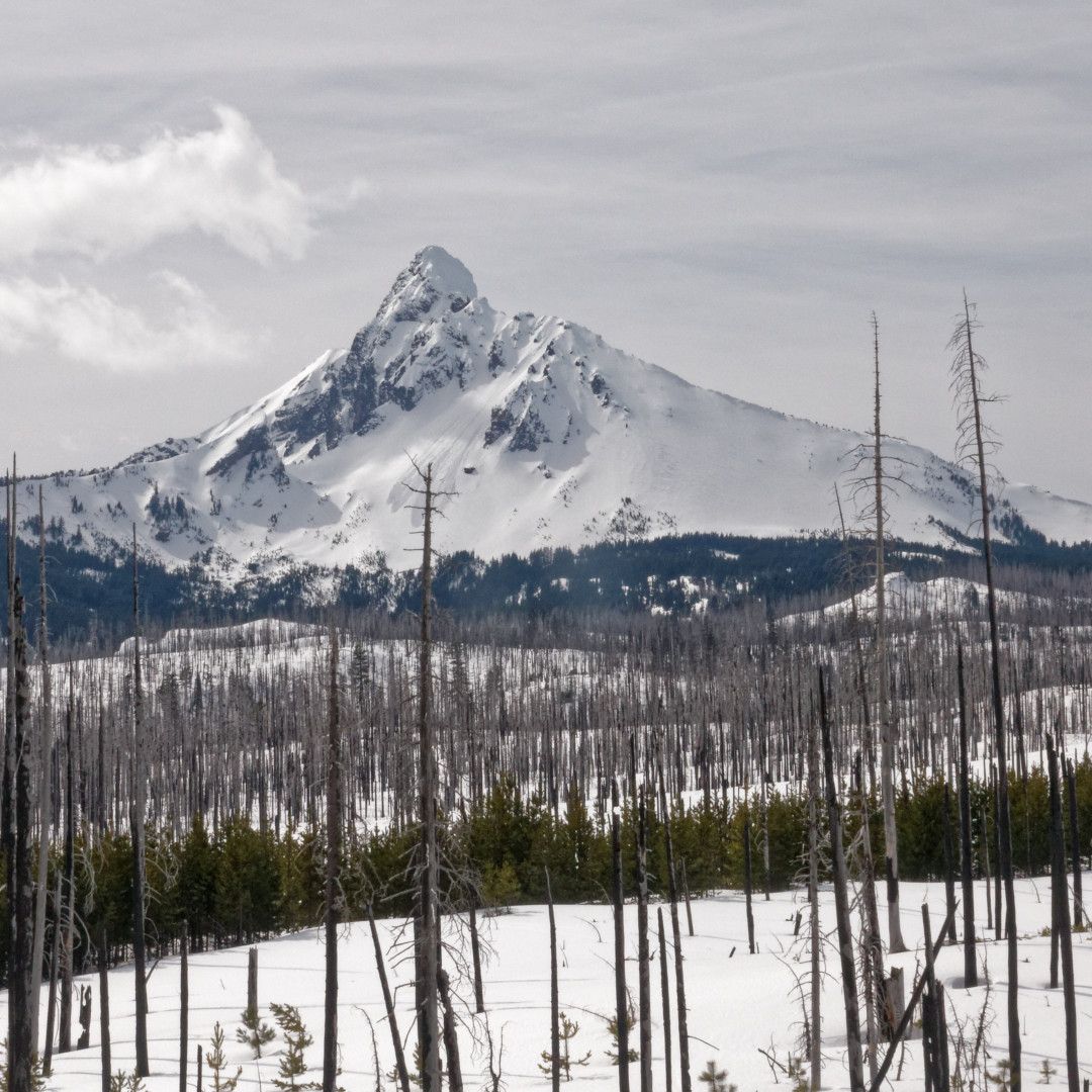
Mt. Washington from the east
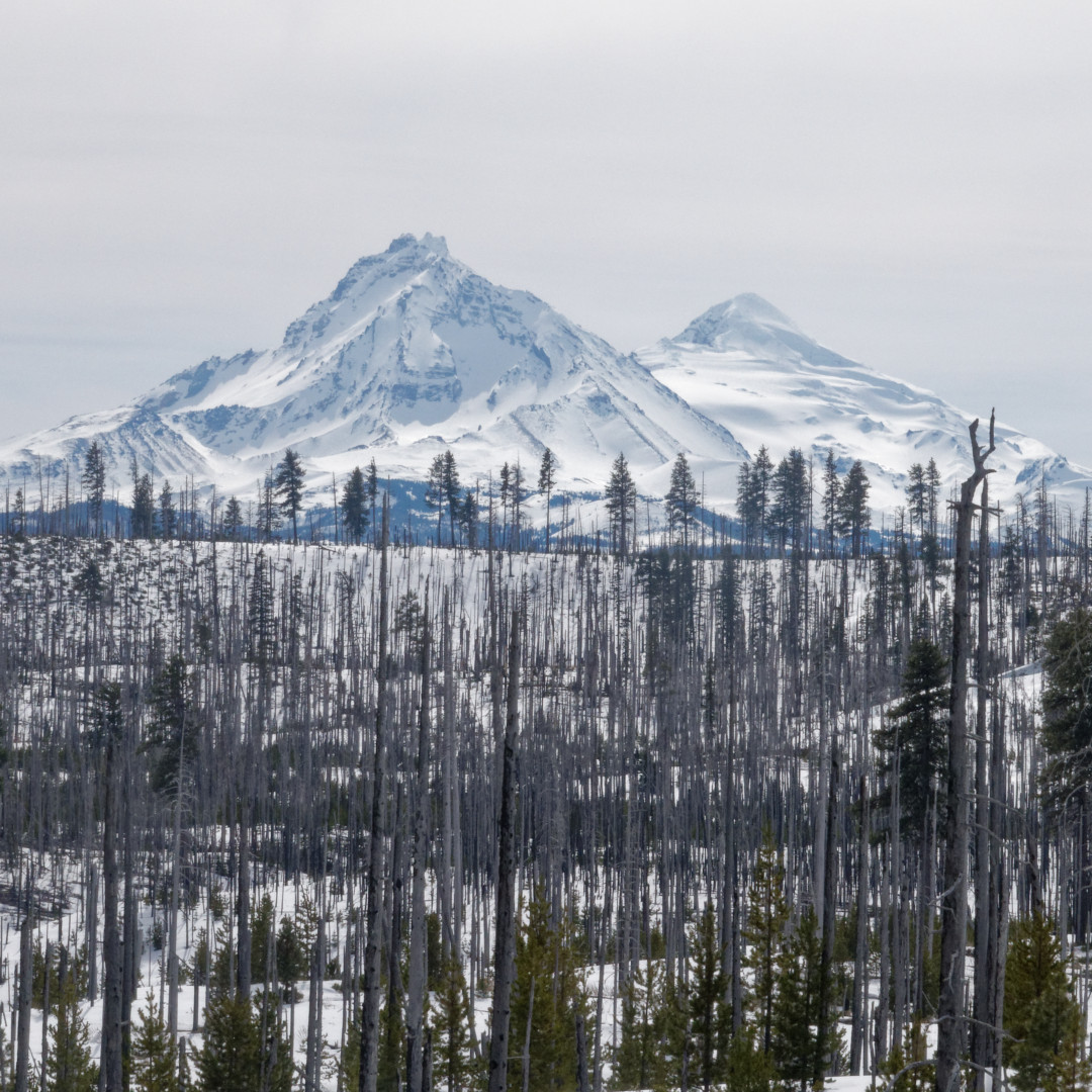
Last clear view of North and Middle Sister
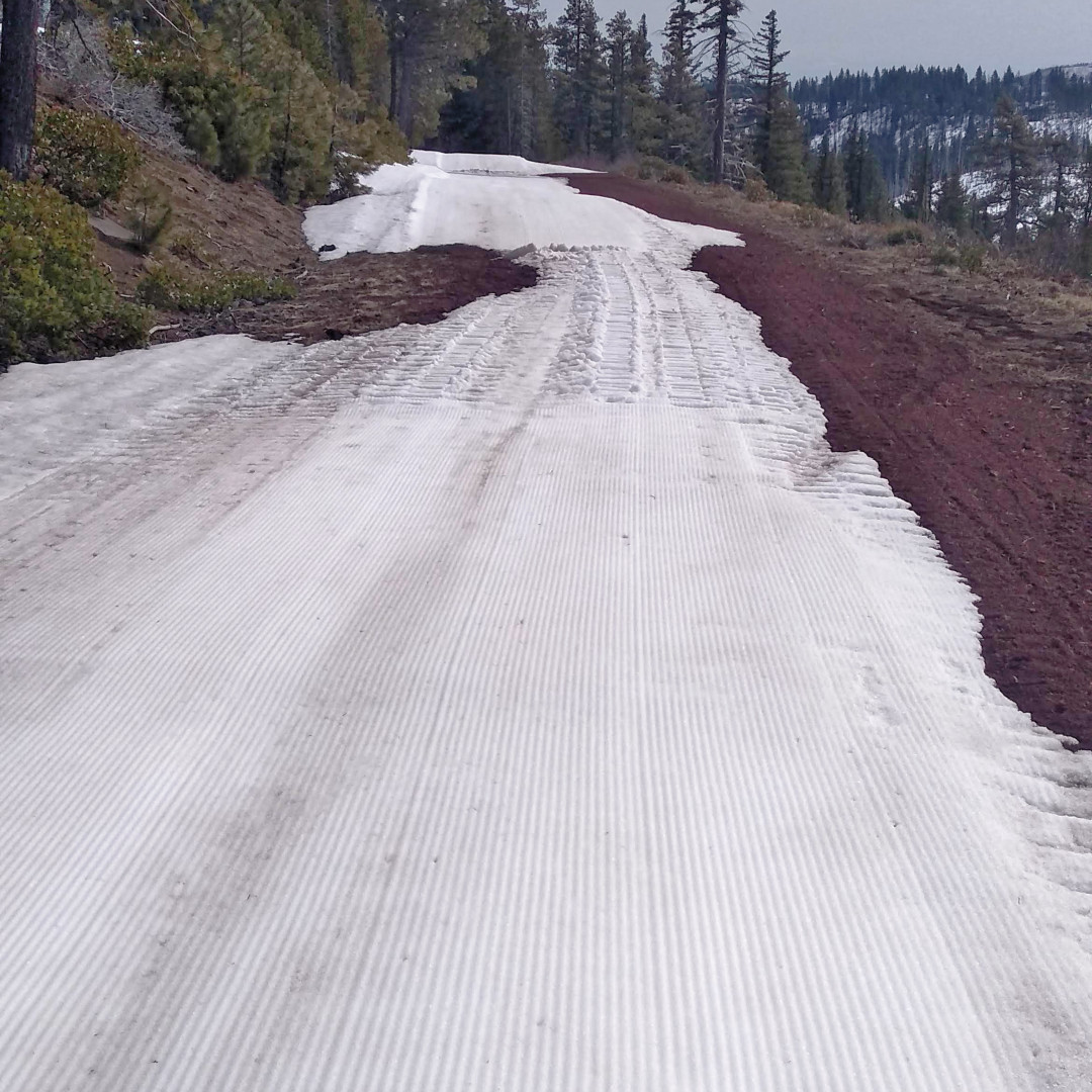
Within only 1/2 mile the road would be dry and dusty!
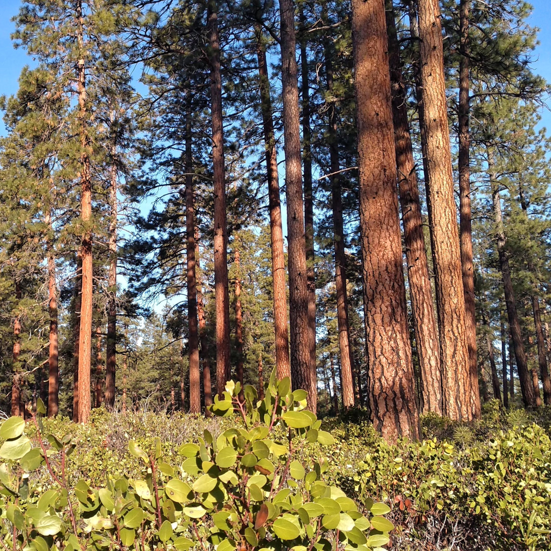
End of the trip among the spacious ponderosa forest with manzanita
Day 7. Lo 25. Hi 50.
I say the lo was 25, but it was only an estimate because I was in a warm, dry, spacious cabin all night! My boots were thoroughly dry so now I was going to try the vapor barrier technique. I put my socked feet into plastic bulk food bags before putting on my boots.
My plan was to head east, then south, and encircle Mt. Washington wilderness on my way back down to Mt. Bachelor via the east side of Three Sisters. This seemed like a useful section so I could GPS track an easy snowmobile route for those wanting to avoid the difficulties of the west side.
I decided on this because 1) there was no snow on the low west approach to Mt. Jefferson, and 2) the change in terrain and trees as I moved north convinced me that there was no safe way to ski the red segment from the end of the road (peach) to the top of Park Ridge where it then becomes a “normal” trail again (green). If you try to ski the PCT directly (blue) you have EXTREME side slopes and at least two major creeks to deal with. (Think Mesa Creek in my previous post, but several times more difficult and deep!)
This conclusion was very disappointing. The ski route I had been seeking for 3 winters was blocked by 3 miles of impossible terrain. But I do have an idea to snowshoe it or the PCT early in the season. Anyone want to join me this December?!!
I left camp on 3 feet of freshly groomed trail having no idea what I was about to run into—er, out of. As I circled back to The Sisters I kept thinking snow would return because of the mountain effect. But. No. 10 miles on dry road in snow boots gave me a souvenir blister in my right ankle bigger than a quarter. As I write this, the hole is down to the size of a dime. Which means I hope to get back out there next week.
My plan is park on hwy 26 south of Government Camp then ski the forest service roads south to Park Ridge. It is my favorite spot in Oregon. I want to confirm the conditions. It is certified virus free! And what better way to socially distance! (Someone has to make the sacrifice play!) Hopefully I can time it with good weather and give you a visually stunning report!
