Day 19.1- Getting started, again
Sunday, January 27, 2019.
Start 3p. Lo 45. Stop 5p. Hi 45. 4 miles. 6200 elev.
My project has begun—again. My goal is to map a ski route so people can ski all of Oregon from California to Washington loosely following the PCT. (A good case could be made for just Mount Ashland to Mount Hood.) I call it Oregon Crest Ski Route. I started two winters ago, but only completed a third of it because I kept getting interrupted by blizzards during the 200% snow season. With a need for tweaks, I have finished CA to Crater Lake and Government Camp to almost WA.
I’m trying to find a safe route that avoids avalanche areas and big stream crossings. Also navigating the PCT with 5 feet of snow on the ground can put your face in the branches or on steep side crossings. I’m trying to minimize all that by using parallel roads if they exist, making it fairly easy for inexperienced skiers. I want the route to be SAFE!
This leg starts at hwy 140 (Fish Lake) and hopefully stops at hwy 58 (Willamette Pass). I’m redoing part of this because I had to bail at Devils Peak two years ago because I tried going around it on the east. Big mistake. I think west will be much better. We’ll see!

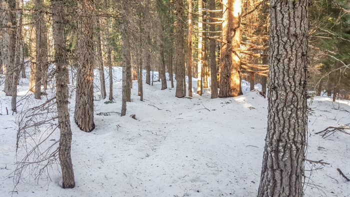
Started at 3p at 5000 feet with only a bit over a foot of snow on the ground
