Table Rocks
Research for this column is enjoyable! It requires exploring forest, mountain, beach, and waterfalls. During the previous two weeks I took a trip that started in southern Oregon, went to the coast, then to the Washington Cascades, and back again. My first stop was Table Rocks in Sams Valley just north of Medford.
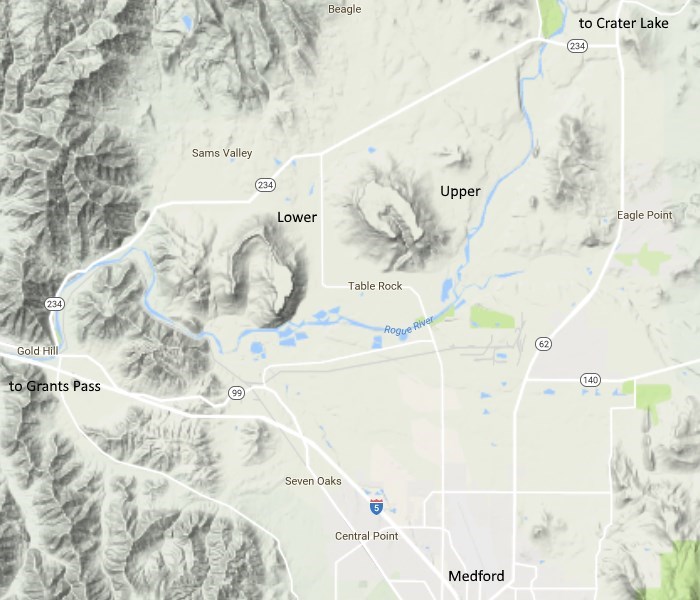
The horseshoe shaped areas near the middle are the Table Rocks.
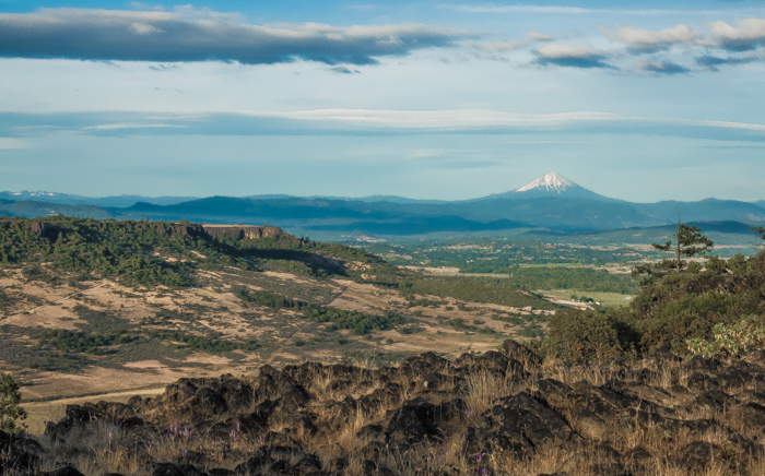
Looking east from the lava rocks on Lower Table Rock past Upper Table Rock to Mt. McLoughlin.
Table Rocks are appropriately named seeing that they are almost perfectly flat on top. They are the remnants of a once vast lava layer that has been mostly eroded leaving these almost level escarpments. They are named from their positions on the Rogue River which flows from northeast to southwest, but the topo maps show Upper Table Rock is about 40 feet higher.
Although it is only mid-June after a winter of heavy precipitation, the grass is almost dried and brown. The heat on this lava soil dries it out quickly. The flowers, however, hold on to secret reserves and still share their colors with me. On the way down Upper Table Rock I am stopped by bright blooming manzanitas with dark red, almost black, smooth trunks. The contrast is striking, almost unnatural, certainly unique.
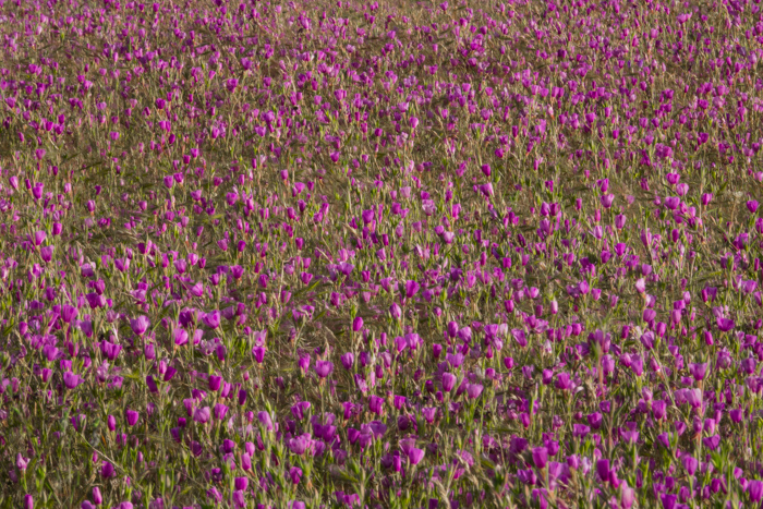
Large patches of these purple wonders decorate Lower Table Rock
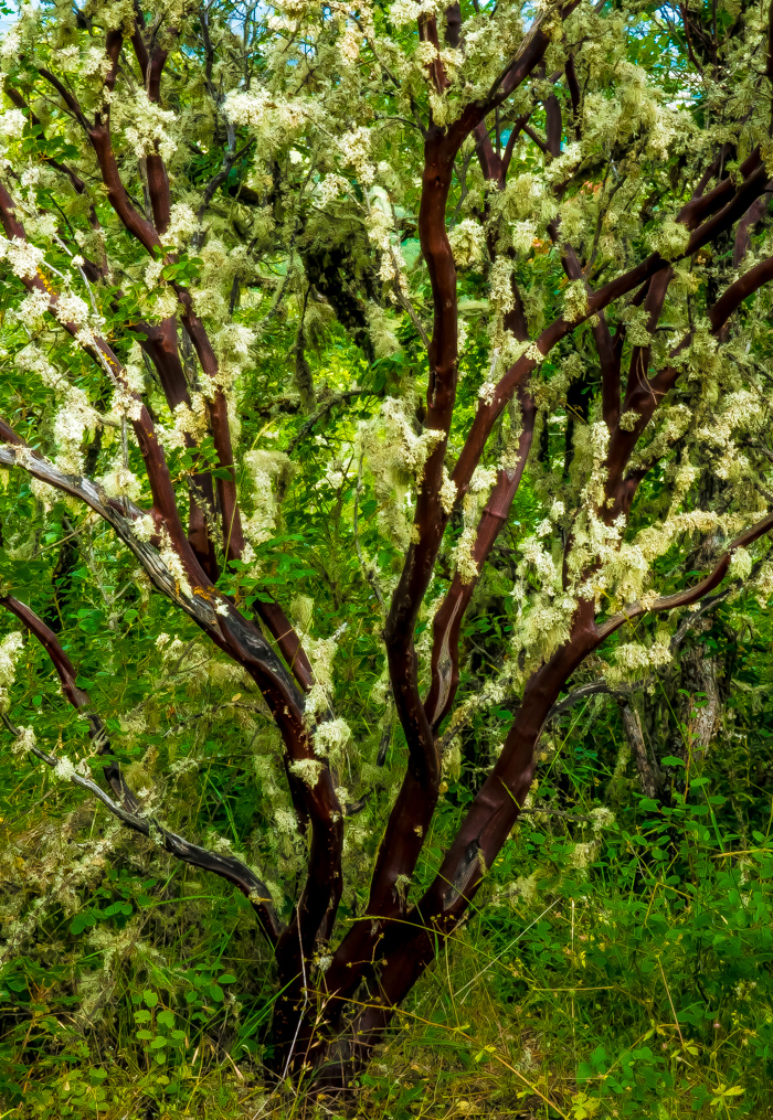
Flowering manzanita on the Upper Table Rock trail
The parking lots, modern outhouses, and trails are well maintained and clearly marked. They are definitely popular. I saw friendly runners and hikers of all ages.
The paths are vigorous in their almost 800 foot ascents. The upper trail is 1.1 miles while the lower is 1.6 miles. They are wide and twisting with some rocky sections. They provide a good workout without being dangerous.
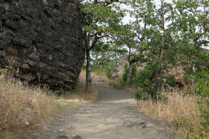
An interesting rock formation on Upper Table Rock
Of course, the best part of the Table Rocks is the top. Being up there makes me think I am in Africa on safari or in the “big sky country” of Montana. In the midst of a valley surrounded by mountains I have the distinct feeling that I am both on top of it all and in the midst of it all. It is a place where you can let it all out and take it all in.
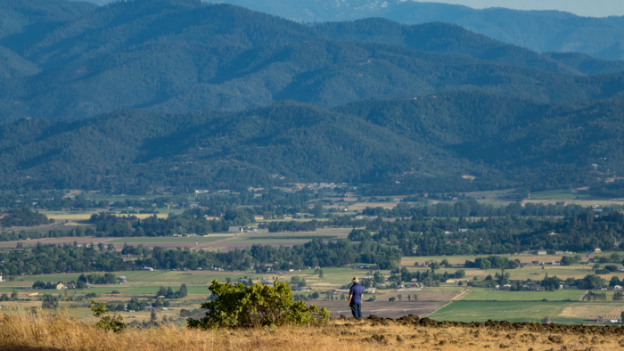
My friend is swallowed up by the expansive southern view from Lower Table Rock
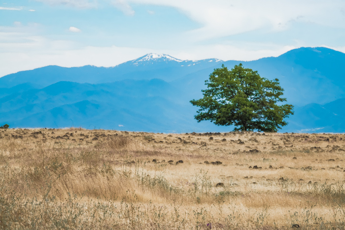
A lone tree on the southeast corner of Upper Table Rock
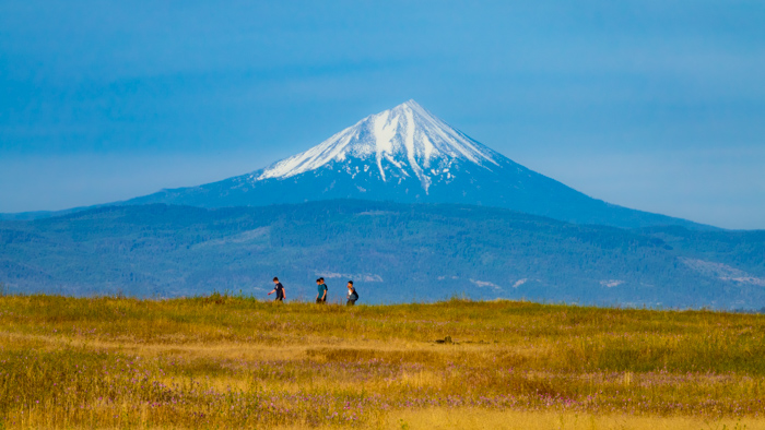
Boys “on safari” on the east side of Lower Table Rock
The top of the upper rock has loosely defined paths and four wheel drive tracks branching off from an old road cutting across the center. An FAA aviation tower that resembles a partially buried rocket rises to the northwest. I walk a trail that winds around the southern perimeter and spy some wildlife.
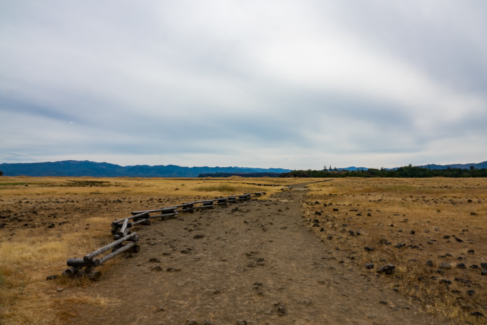
Walk across the center of the upper rock on an old road
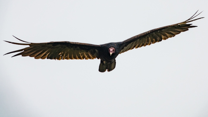
Not an eagle and not pretty, but the turkey vulture is one of God’s creatures
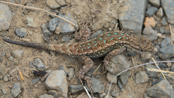
A calm little lizard in the trail
I confess that I favor the lower rock. It has an abandoned airplane runway running down the midst of its east side for well over a quarter mile. A business man in the 1940’s thought he would develop the mountaintop for Hollywood celebrities but did not make much progress beyond the airstrip. You can now walk the path in the middle of it without worrying about stumbling over rocks. This lets you gaze all around at the immensity of land and sky.
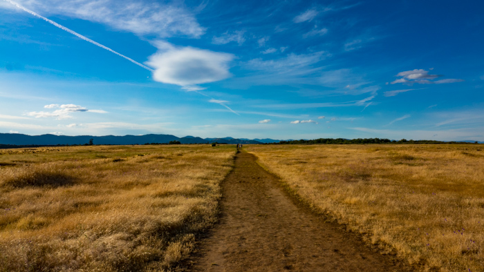
The old runway trail heading off into the late evening sky
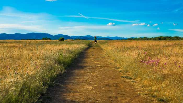
Father and son enjoying the invigorating beauty of nature
The Table Rocks offer a unique blend of hill-climbing, forested trail and savannah-like paths that threaten to spill off its top edges. Visit these little mountains in the early morning or on a breezy evening to avoid the heat and maximize your enjoyment. God and the Nature Conservancy and the forest service have preserved these flat hills to provide you with a blend of experiences.
You can get there by using the map at the top along with the following detailed maps.
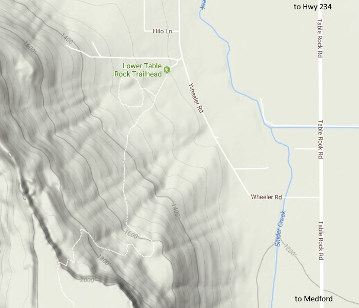
Lower Table Rock trailhead invites you to hike!
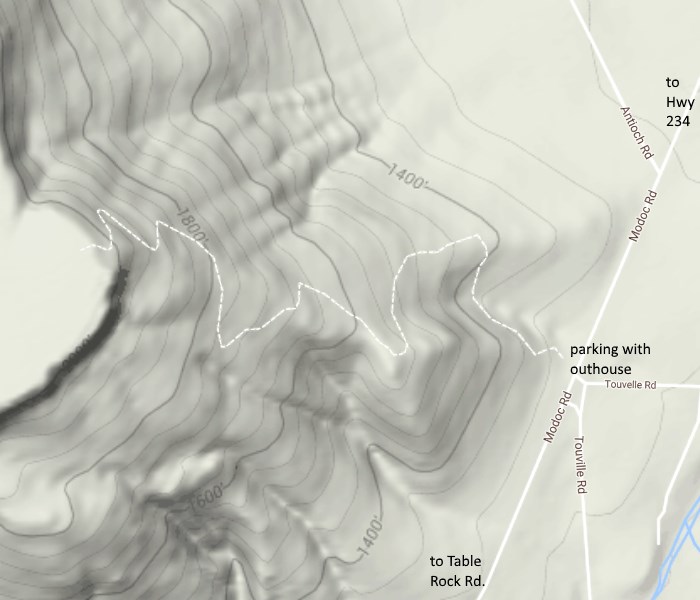
Hiking Upper Table Rock will not disappoint you!
Blessed is the people that know the joyful sound:
they shall walk, O LORD, in the light of Thy countenance.
by Ed Lyons, 6/30 /17
