Day 14- The Best for Last
April 30, 2017
Segment: Luther Mountain to Nannie Creek, 12 miles.
Weather: Low 30 degrees, high 45 degrees, rain and wind then sunny.
From the tent
It is almost noon and I am still in bed. Backpacking is a lazy life. Just kidding! I’m waiting for the rain to stop. It has been raining since early this morning. I look out the tent and everything is gray. Now the sun keeps teasing me, then the wind drives in more rain and gray. Hope ... dashed. Hope... dashed. I need to be able to see so I can make it across then up and over two ridges by Devils Peak.
This has been good, though. It has been what I asked for- time with God uninterrupted by distractions. Sometimes skiing, and other good things in life, are distractions from keeping us connected with the Person and persons that matter.
For many reasons, this increasingly looks like my last segment, but all things in His time.
The misty clouds
the wind driven rain
the swirling gray of life
that deadens the heart
and drains meaning
are not forced back in battle
or driven away by technology.
The Sun, bright and beautiful,
hot and persistent
gradually evaporates the storms,
calming the monstrous giants
down to sleeping puppies.
If we will wait on the timing of the Son
all things will be made right
and peace will break forth
like flowers in a meadow
like lambs frolicking in a field
and like people sitting together at a meal.
Now my tent is too hot. Let’s peek outside again. Blue sky with puffy clouds! Time to go!
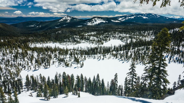
Another view of Margurette and Trapper lakes.
Back home
I was packed up and back on the skis shortly after noon. I made my way up to the saddle where I could join the PCT at the base of Luther. Because the snow had not frozen during the night, skirting the south side of Luther was almost easy. Even crossing the north face of the PCT ridge was quite possible, though difficult as expected. Yet, don’t worry, it wasn’t dangerous because the slope loses steepness as it runs into a big treeless field only a couple hundred feet below.
Stepping up onto the last “wind dune,” I was ready to cross the bridge. At least, that is what I call it because it is a long, narrow, open ridge connecting the ridge systems of Luther and Devils Peak.
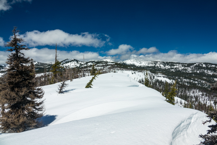
Ready to cross The Bridge to the Devils Peak system
At the north end of the bridge I had a decision to make. I had mapped out two routes, one to the west which went over a saddle and another to the east which went over the lower end of a ridge. Both of them contoured their way around at about the 6800 foot level.
Having experienced how good the snow was today for traction, I opted for the eastern route. I went into the Snow Lakes area and stopped for lunch. After a short side crossing of a bump in the Shale Butte ridge, I was in the Devils Peak cirque where conditions and slopes were very nice. I was satisfied with my decision as I slowly circled around to the east and up the Lee Peak ridge. Lee Peak is almost a twin to Devils Peak, but slightly lower and easier looking on the topo. I had been up Devils Peak in the summer and knew I did not want to summit it in winter.
Along the way, I got a few pictures looking south.
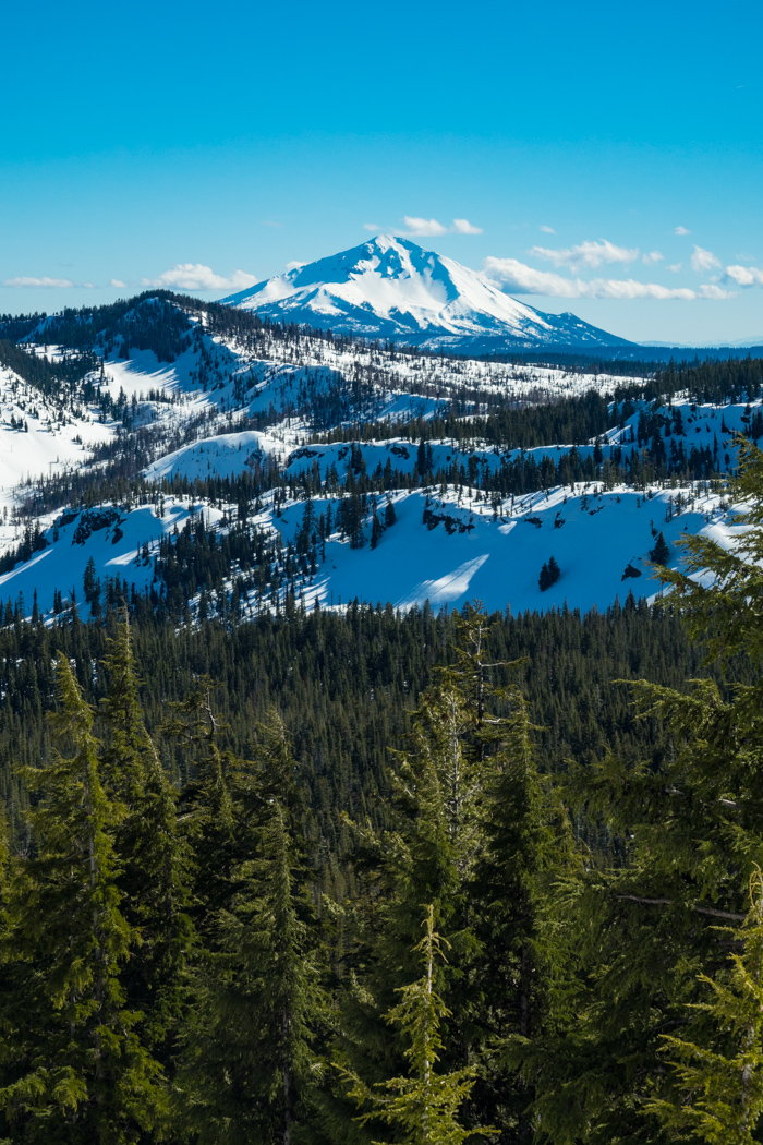
Mt. McLoughlin from partway up the Lee Peak ridge
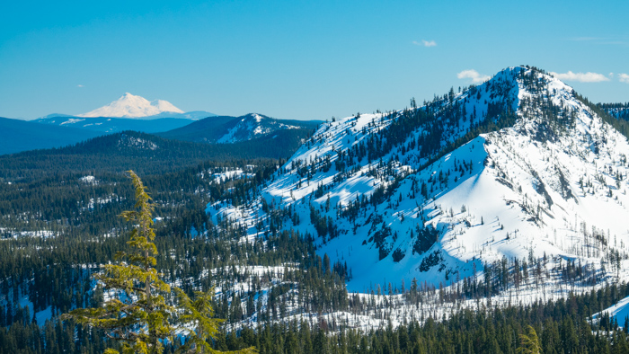
Mt. Shasta south of Mt. Luther. I camped on the other side of Luther.
Gaining the shoulder of the ridge I was now able to look north for the first time. Once again, the snow made things worse than the topo showed. The north slope was a steep crust that did not break or offer much traction. Now the second ridge I needed to cross did not look so friendly. I also doubted my decision to not take the western route. Gaining the saddle would have been a little harder, but the north face was shallower (I had hiked it in summer) and there was no second ridge to cross.
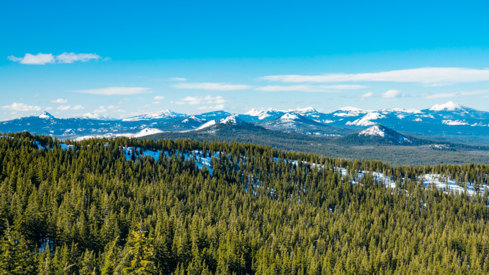
Looking north to the Crater Lake area. Union Peak is far left, and Mt. Scott is far right.
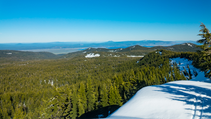
Looking east back down the ridge. Saddle Peak is in the distance beyond Klamath Lake.
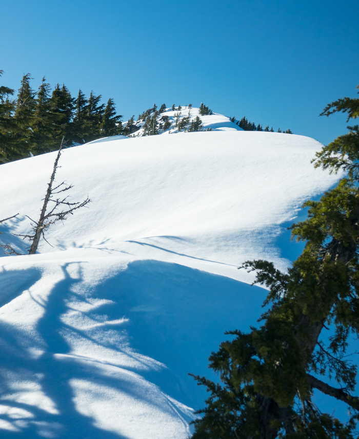
Looking west and up the ridge. The peak is just beyond that last dune.
I went west and higher on the ridge with the hopes of summitting and then going north down the top of the second ridge. However, a quarter mile from the top, I ran out of maneuvering room. The icy crust on the right gave me no foothold. I could probably posthole with my skis off on the south side, but it would take me at least an hour to get to the top, then another hour to make it down the steep part of the other ridge. Because of the late start, it was already about two hours from sunset. It was clear that Crater Lake was no longer attainable under the conditions. (Proven correct the next two days with two more unforecasted storms.) That little voice kept repeating, It is not wise to go forward.
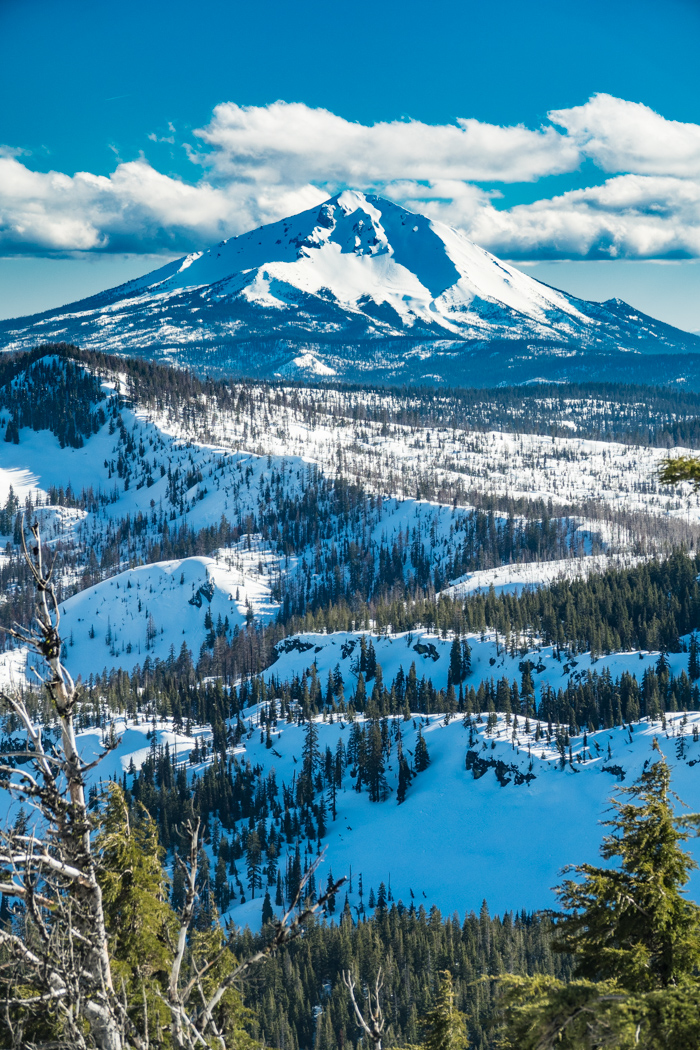
McLoughlin from on top of the ridge
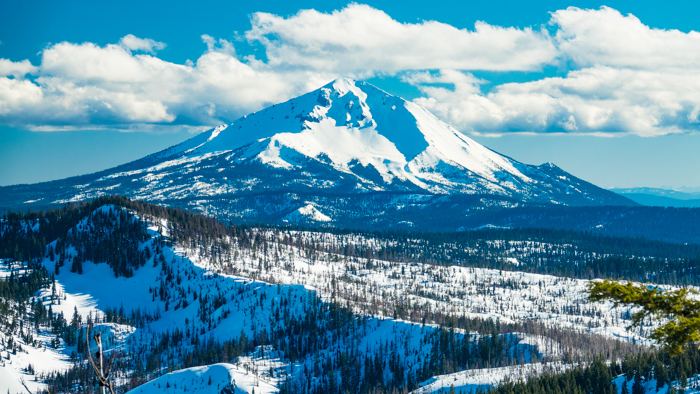
Nothing like being high enough to look straight across to a big mountain!
Once again I had to admit defeat, but once again I knew it was the right thing to do. With family obligations and a locked-in schedule starting soon, I knew I would not be back this season. Sigh. But at least I was in Sky Lakes with sunny weather! This afternoon really was glorious!
I turned around and picked my way down the ridge. I hoped to make it to Puck Lakes at the end of the ridge. Dropping down the south side I had the best glide through glades and open forest that I had ever had! I was down to the lake area in minutes, so I decided to go all the way to the Nannie Creek road and camp below snow line and get water. Angela picked me up the next morning.
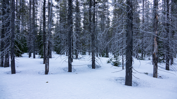
Open, easy-to-navigate forest near the Nannie Creek trailhead.
Learnings
This season has been an eye opener, that is for sure. Good moments, tough moments, lots of learning, all of which will be poured into preparation for next year. I really want to complete this route, or even do it all from scratch.
I feel I am prepared for cold, dry powder conditions. I don’t see much room for improvement with my equipment. It is just slow going and that needs to be taken into account with timing and food supply.
Spring conditions, however, need much better preparation. I need to solve the problem of sweating and sleeping in non-breathable boots and inserts. Gloves and lower pants can also get wet from slopping around in the warm snow.
The skis do very well in packed snow on the level or slightly downhill, but I don’t think that is enough to overcome their disadvantages on steep slopes or crust or patchy conditions. Therefore, I have a design I want to pursue for a new type of snowshoe with ski-like qualities. I need something easier to carry, to take on and off, and to attack slopes. I would like to be able to wear regular hiking boots, or even trail runners, with them. We’ll see. I need to reliably get about 25 miles each day.
I also need to trade my tent for a freestanding tent, but not the heavy two-person tent I have. I am not sure if I will make my own or buy, but there is too much fuss and too little flexibility with location with a non-freestanding tent.
All in all, it was a good first attempt. I completed over 150 miles under a wide variety of conditions during a very odd winter. I learned a lot, got lots of nature time, and slogged with God. Just like life, many things don’t live up to our expectations, but journeying with God as a friend and guide makes them survivable and able to put them in eternal perspective.
Today I am thankful to my Master Guide for many learning experiences and hope for the future!
