Day 11 - Played the Get Out of Jail Free Card
April 16, 2017
Segment: Near Lolo Pass to Dee (near Hood River), 20 miles.
Weather: Low 30 degrees, high 50 degrees, partly sunny then rain.
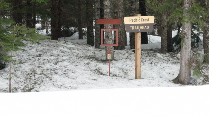
So, here I am at Lolo Pass where the PCT crosses the road. Things look good and I enjoy my usual hot pot of granola and grape-nut cereal for breakfast. The topo shows I have almost ten miles of peaks and sawtooth ridges to traverse before getting to the last half of the segment that has some roads. It is before 9am and I will see where I am at noon before deciding whether to go forward or back.

A few feet of snow at Lolo Pass
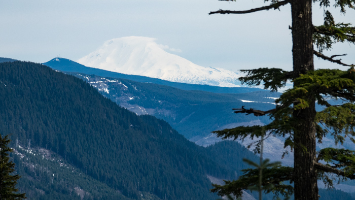
The first task is to circle around a peak with 3 steep sides out of 4. I stick to the trail and cross under the power lines. Coming around the north side, I get my only view of Mt. Adams for the day.

Mount Adams, in Washington, from the south
After carefully scooting across the icy crust under the power lines, I enter the trees and the snow immediately softens and provides some traction. This is a good thing, because the trail is now crossing a left to right steep downhill. A narrow stream is successfully crossed by stepping on the ends of a snow bridge and missing the middle.
A rocky bluff appears, the slope steepens more, and I take off my skis. The snow is a bit slushy and postholes a foot deep.
Rounding the bluff I see another bluff with a tall rock pile beneath it. The trail goes between both of them. During the summer that is fine because the rocky dirt is level going through the 5 foot wide pass. However, the snow does not even show a dent in its slope because of such a narrow pass. Therefore, I need to go down and around the rock pile.
Heading down I make my first slide and self-arrest. That is one way to quickly descend 50 feet! (Not to worry. Lots of trees. No avanlanche danger.) I aim for the bottom of the pile, but each step results in a slide and self-arrest. I got practice several times each arresting on my back and my stomach. (Back was all right, because the snow was soft. Hard snow requires a stomach arrest.)
I was now a hundred feet below the rocks, but no farther forward. I could not go back up, neither could I go left or right. I just stood there on the 50 to 60 degree slope facing upward. I looked north, where I was heading, and saw no end to the ridge. That was expected and confirmed by my topo map. At this rate, I would not even get to the end of this ridge today. And I knew from a previous hike, there were another couple of tricky spots past it.
As I surveyed the terrain it hit me that this was like Washington terrain, just not quite as high and exposed. But this was precisely why I would not ski Washington. That is when the conviction became clear that God wanted me to re-route. I had to re-route, because I could only go down.
I was disappointed, but at least I knew I was not quitting. I was skiing as long as there was snow to ski, but this snow on this terrain could not be skied.
OK, God, where now?
There was a road another couple of hundred of feet below me that crossed the power lines and the creeks and joined the north part of Lolo Pass road which then headed into Hood River. That was not Cascade Locks, but at least I would still be going towards Washington. I would not be turning back!
Facing the slope, and with my shortened poles in my left hand and my skis in my right hand, I stepped/slid backwards down the mountain. Once on the road I put my skis back on.
As I headed down the valley it was on-again-off-again with the skis until finally they went on my back and could put my runners on. I made it to Dee, at the top of the Hood River valley, before I got cell reception and called Rhonda. It was all town now and so this segment of the ski trip was over.

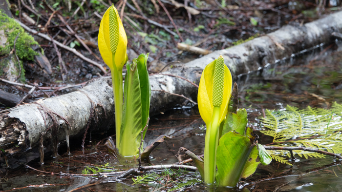
Skunk cabbage at the side of the road

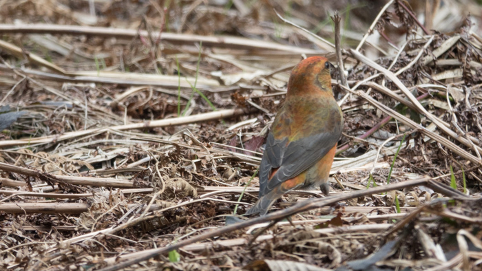
Varied Thrush
I am thankful that to obey is not to quit and for the road shoes—because I needed them, a lot!
