Day 2- Bouncing the Beginning
Feb 13, 2017
Segment: 7.5 miles to the border, 2.2 miles towards Washington.
Weather: Low 40 degrees, high 50 degrees. Mostly sunny.
My supper the previous night was pretty small because I was so tired. Therefore, I ran out of fuel and warmth at 2am, but a snack fixed things so I could sleep nicely until 6.
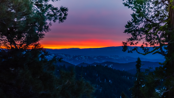
Nothing like dawn in the back country!
As usual, the colder night firmed up the snow and made both walking and skiing easier. I made my way around the “peninsula” and into Wymer Glade where I ate breakfast and pondered the landscape. It was a gray morning, but later turned bright and blue.
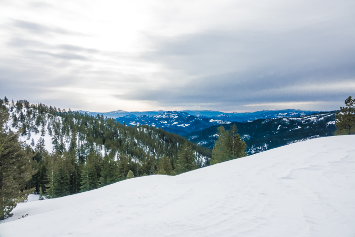
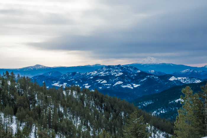
While I did not cover much more distance today than yesterday, it was easier and more enjoyable. I was content to let God unfold my day and the terrrain. I switched from resistance to learning. I accepted more readily the several times I needed to take off my skis because of sloping ice and so my trip smoothed out.
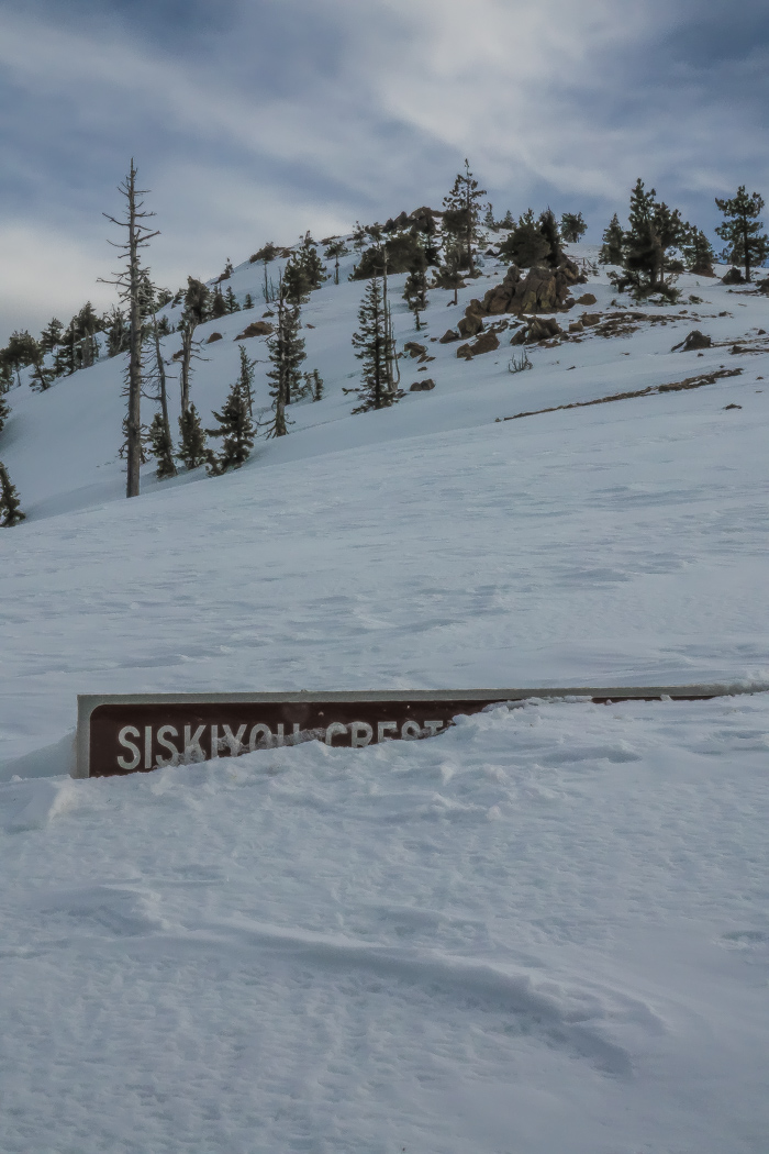
Wrangle Gap was my next milestone after Wyman Glade
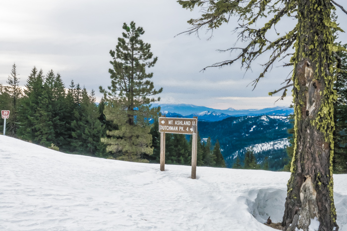
Dutchman Peak is just several miles from the border!
I was still in “road mode” but the roads increasingly took to the ridges and so did I. I soon saw the pattern that ridges in this area were fairly wide and flat and surrounded by breathtaking views. Even if I was traveling at half pace, this journey was becoming downright enjoyable!
About midday I reached one of the peaks along the ridge climbing to Dutchman Peak. That is where I recorded the following videos.
Carrying my skis down the icy, windswept slope I ate lunch at Jackson Gap. The frustration of yesterday was completely washed away in contentment and gratitude for God’s leading. I really do benefit by yielding my presumptive expectations and letting the Spirit lead me and teach me through varied and unpredictable conditions.
Looking at the map and the two peaks in between me and the border, I made a wise decision to leave my skis here and walk the rest of the way. Up the first peak and down across a saddle was definitely icy and slanted. It was clearly impossible that I could have kept my skis on.
The approach to Observation Peak was so steep that I could not even climb it in my boots. Imagine trying to climb a sand dune and with every claw you make upward, the sand just sends you downward. The snow was that steep. Therefore, I went around the mountain in a slowly ascending spiral. I think it took almost an hour to make a quarter mile.
With the high point reached, I made rapid progress down the long, open slope to the forested border. As I got closer I realized that I had not prepared a way to find the lone tree with the signs nailed to it! Looking for a tree in the forest is like looking for a needle in a haystack!
In quietness and confidence I asked God what ideas He had. With a flash He gave me the idea to use the Halfmile app I had on my phone. AlpineQuest makes my tracks on a topo map, but Halfmile’s app tells you where you are in relation to the PCT. Like playing hot and cold, I went back and forth and up and down watching the number of feet to the border point increase or decrease. 400’. I’m close! 420’. I need to turn around. Finally, at 60‘ I looked around and saw my goal slightly up the hill from my position.
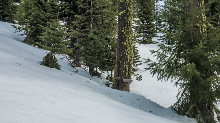
Found it!!
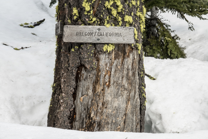
My first selfie video. It felt as awkward as it looks!
Having trekked to the beginning, I could now turn around and head toward Washington, 450 trail miles away. That was actually a good feeling!
I retraced my footsteps up Observation Peak, but took the short way down that had blocked me from climbing earlier. I camped in a long tree well on the saddle, mostly protecting me from the wind that was continually increasing.
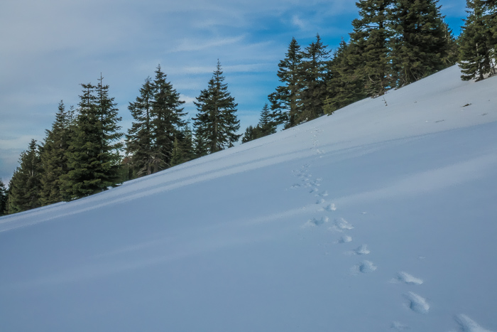
Tonight I am thankful to Him who is the Beginning and the End of my life and all trails.
Note:
Some people worry about me getting lost (like my mom), especially in a trackless, snow covered mountain region. My reply is, Anything is possible, but I do take precautions.
In new areas I take paper maps (in case phone batteries die). At all times I have an exit plan in mind. In winter, the main direction is down to below snow line, but often there is a clear difference whether down is to the left or the right. For example, except for the last two miles headed south to the border, the best direction was down to the north in the direction of Applegate, Ashland, etc… I also carry a little compass permanently attached to a strap on my backpack for easy reference.
