Glacier Peak – August 2016
It seems that we landscape photographers are perpetually doomed to frustration. No matter how big, how high-tech, how expensive the equipment, we just can’t capture the grandeur and glory of the full experience. After hiking under a sky blue dome, peering across miles of undulating valleys and ridges, sweeping across vast green meadows of the most exquisite wildflowers, resting in the midst of majestic mountains that draw the soul outward and upward–after all that, we are restricted to giving you a tiny, two-dimensional picture of a 360 degree experience that includes fragrance, breeze, texture, time, even taste.
Therefore, my goal in this post is not to bring nature to you, but to give you a glimpse–a peek–at what your experience in the Glacier Peak Wilderness might be like. When you enter the great outside at that place, the sun will be at a different angle, the temperature will be warmer or cooler, the flowers will be in a new stage. When you stand on White Pass, Red Pass, Fire Creek Pass, or the flank of Glacier Peak itself, everything will be slightly different, but you will be in the midst of it. The grand enormity will be yours. The soul-expanding glory will be yours. Until that time, however, here are little peeks into the stirring experience that awaits you.
Stevens Pass
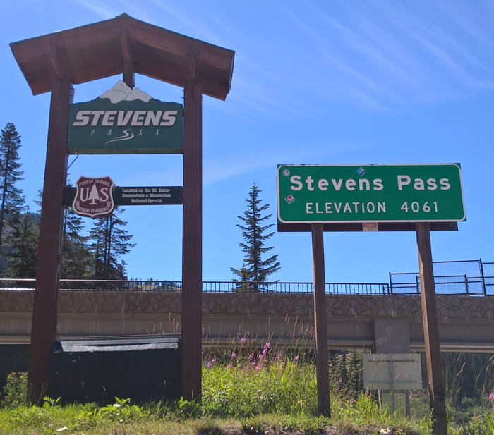
It’s Monday afternoon, August 15. The bus from Wenatchee drops us off at Stevens Pass on highway 2 in Washington. “Us” is Abel and I. Otherwise known by his trail name, Bonus Miles, he is here to finish the gap in his thru hike of the entire PCT from Mexico to Canada last year. (This section was closed due to fire.) It is a clear sunny day, perfect for hiking 108 miles to High Bridge ranger station where we will catch another bus that will shuttle us to Stehekin at the top of Lake Chelan.
Wait a minute! 108 miles?! That’s not a walk in the park. That’s many walks through many parks. That’s a long way! Lots could happen.
There is always a feeling of apprehension before setting on a long hike through the wilderness. Will I make it? Will my knees and feet hold up? Will I get injured? Did I forget anything I might need 50 miles from now? These are all healthy questions, even from an experienced backpacker. That is why I started years ago with much shorter hikes. That is why I always ask God, “Yes or No?” before starting any hike. To launch with experience and His blessing is incredibly comforting and confidence building.
Preparation
The first question in most people’s minds about a journey like this is safety. Will you get eaten by a bear? Will you get lost? Will you run out of food and starve? What if you break a leg?
The odds of getting harmed by a bear are actually quite low. I would rather walk through a wilderness full of bears, coyotes, and cougars than walk through a random back alley of Los Angeles, Chicago, or New York. There will be approximately 1,000 hikers who will hike over 2,650 miles on the Pacific Crest Trail from Mexico to Canada this year and not a single one will be injured by a bear. Few will even see one. Fewer will have to wave and shout them off to defend their food. That is over 2.5 million miles of pleasant, injury free hiking. Dorothy and Toto would be perfectly happy!
As for getting lost, I am not setting out into the bush with a machete to forge my own path. I am following a well-maintained (except for a few blowdowns) and clearly marked (except for a few junctions that will make me look at my map) trail. I am travelling the backpacker’s equivalent of an interstate through the mountains.
Running out of food is exceedingly rare and always due to a lack of basic planning. (But on the PCT express there are many people who willingly help others in need.) I pack about two pounds of food per day because previous experience has taught me that. Besides, the trail abounds with blueberries, huckleberries, and thimbleberries this time of year!
Injuries are possible. Therefore, exit routes are always good to keep in mind. In this part of Washington, that means taking a side trail to the west where the highways are. The east is much longer with fewer trails.
Backpacking injuries usually involve sprained knees, aching feet, twisted ankles. Most of these can be dealt with by hobbling to the next highway crossing on trekking poles. The most extreme injury I heard of was a hiker who already had a problem with his foot, and turned it into a full break by jumping off of large blowdowns. He turned around and went back to the nearby highway.
Like any other activity, proper conditioning and common sense avoid almost all emergencies.
Enough of the preliminaries, let’s look at the hike!
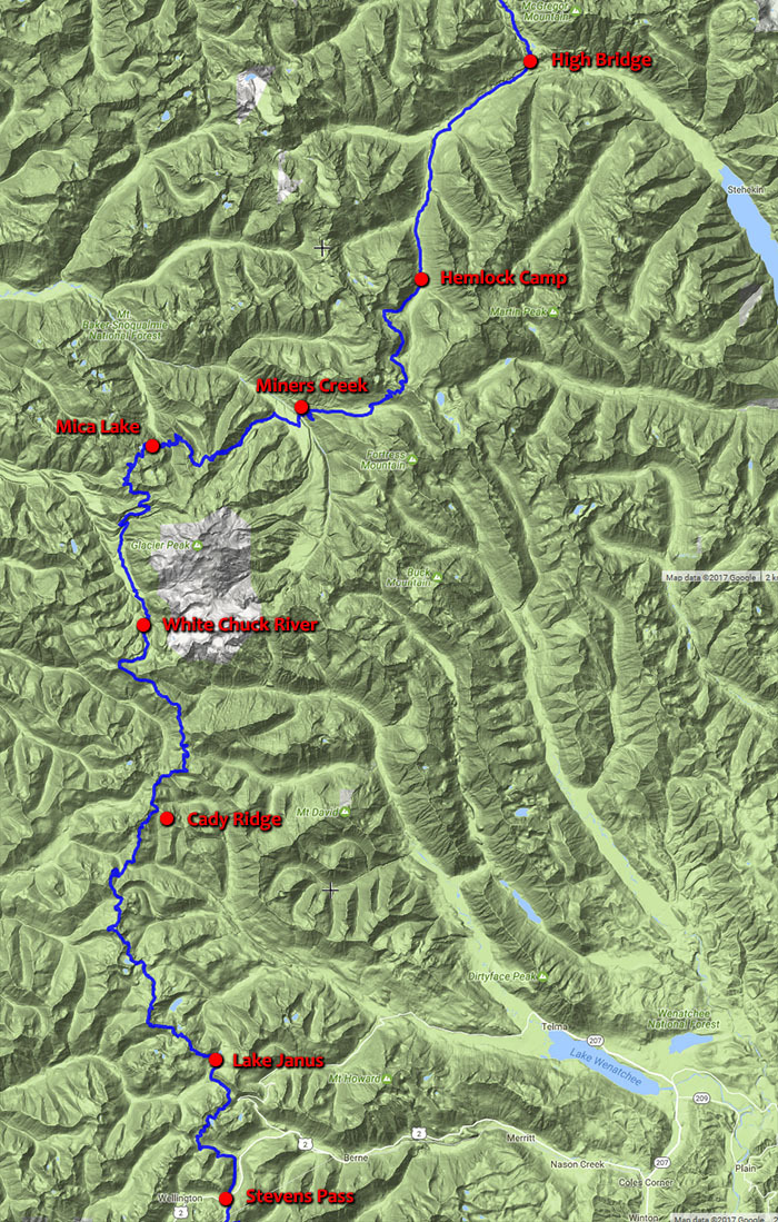
Besides the beginning and ending points, each of the named dots are where I camped. The mileages between them were: 10, 20, 13, 15, 23, 15, 12. The distances varied due to photo opportunities, talking to other hikers, terrain, and trying to get to the next sunset/sunrise view.
to Lake Janus
If I had to boil down the first day to a single word, it would be “green.” We were surrounded by green grass, green bushes, green trees, green mountainsides. It was refreshing and invigorating, especially for a guy from the dry east side of the mountains in southern Oregon who drove up to Wenatchee on the dry side. After the dry dusty desert it felt so good to breath the humidity of lush green!
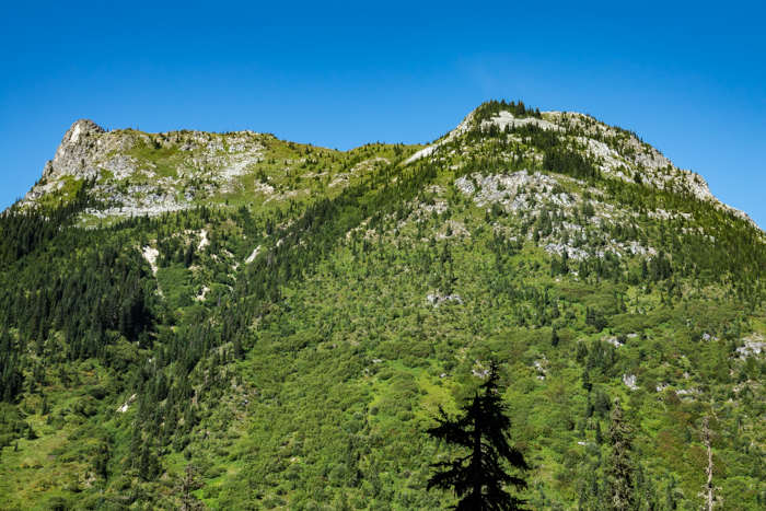
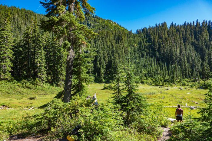
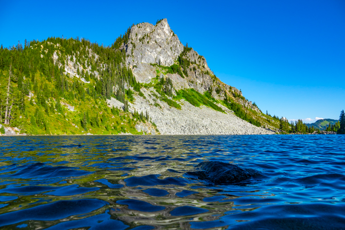
Our first rest stop that afternoon was Lake Valhalla. The deep blue of sky and water now became accents to green.
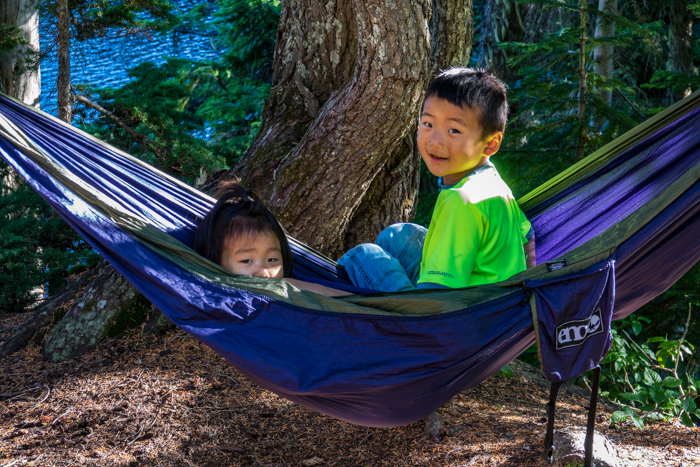
With the permission of their mother, I had to take a picture of these two cute little kids who carried their own packs 5 miles one way. The mother told me that starting at 3 years old (yes, three!) the kids carry their own backpacks on this annual family campout. What a great way to raise kids! Better than growing up in Chicago like I did.
A few more miles of green hiking put us at Lake Janus in time for supper. A wonderful ending to the first day!
to Cady Ridge
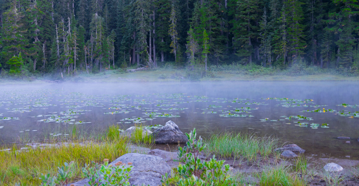
The worst weather we encountered on the entire trip was the light mist on Lake Janus on Tuesday morning! It was absolutely gorgeous perfect weather the entire week!
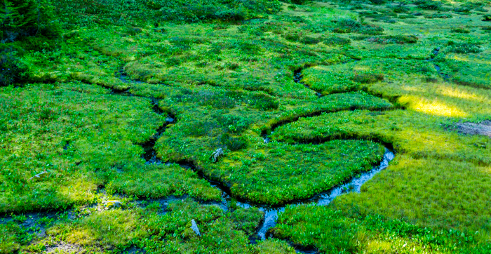
We climbed the ridge above the lake and spent most of the day wandering along at a relaxed pace. Why blaze through God’s country when there is so much to enjoy and photograph? We were like some of the little meandering creeklets we passed.
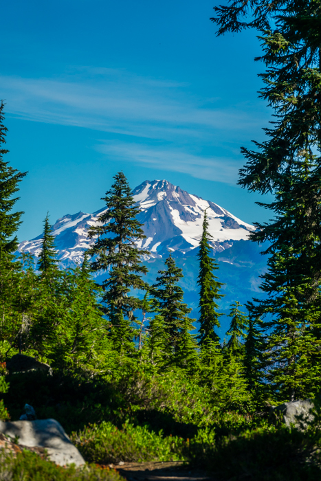
Later in the morning we began to get openings in the green through which we could peek at Glacier Peak–our towering friend for the rest of the journey.
We hiked past one alpine lake after another. I never cease to tire of mountain lakes. Even though my surroundings are green and lush, there is just something special and inviting about each of these little blue bodies of water. Even though I will walk past many of them in minutes, each one seems to say to me, “You are here. This is a good place to stay. Drink deeply of the life I have to offer.” With friends like these little lakes, I never feel like an unwanted stranger in the wilderness.
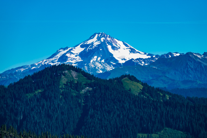
After a leisurely lunch and a stop to wade in Pear Lake (right next to Peach Lake, of course), we began the circuitous approach to Cady Creek and Pass. Here we left 3 guys in their 60’s to set up their camp. One of them was named Ed (how could I forget!) and he had hike through here several times, but this was the first time he actually saw the mountain. Rain and low clouds had always obscured his view.
I mentioned that these guys were in their 60’s because I was noticing a theme on this trip. Most hikers were section hikers and half of the people were in their 60’s or older. The previous day I had met a gentleman who was 74 and finishing his last segment to complete all of Oregon and Washington. Most of the campers at Janus were in their 60’s and tonight the two campers at Lake Sally Ann would be in their 60’s. It is never too late to start backpacking and one can never be too old to enjoy the freedom of good health and inspiring surroundings!
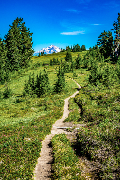
Ridge after ridge brought us closer to Glacier Peak.
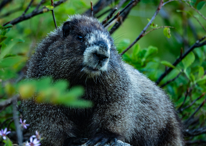
Towards evening I decided to break our meandering habit and push for Cady’s Ridge, about half a mile to the east of the trail. Abel was still recovering from a leg injury so he stopped at Lake Sally Ann (don’t you just love the way that name flows off the tongue like a stream over rocks?!). I hoped to get some time lapse photos of the sunset on the mountain. Along the way I got a picture of this marmot in the fading evening light which turned out better than my sunset pictures. =(
to White Chuck River
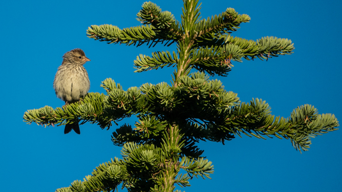
I expected a lot more animals than the few I saw, and there were strangely almost no birds. However, Wednesday morning on Cady’s Ridge I got a picture of this little fellow enjoying the sunrise.
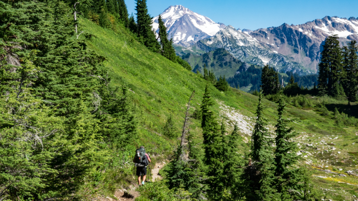
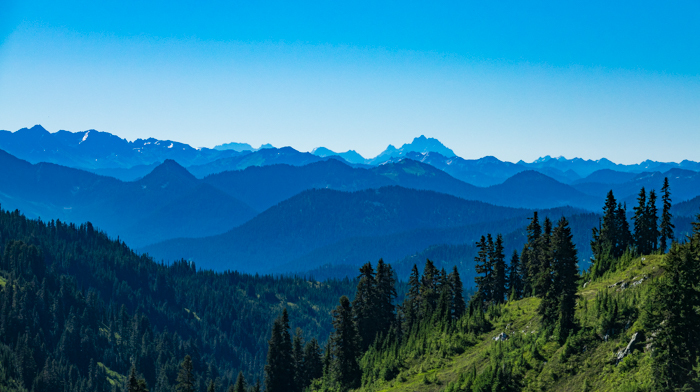
Most of the day we spent ridge walking at or above tree line. The views were just outstanding!
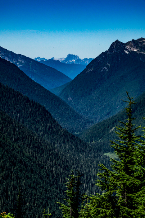
This next picture looks northwest to Mt. Sauk, a mile high set of bumps in Mt. Baker’s backyard.
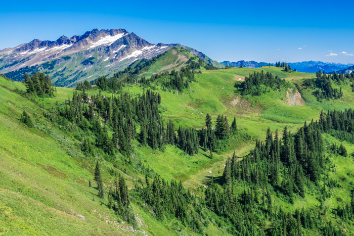
The highlight of the day was definitely the White Pass area. Abel and I agreed that this was Sound of Music territory. It is not hard to believe in a big, beautiful God who lays out lavish landscapes with the ease of an artist!
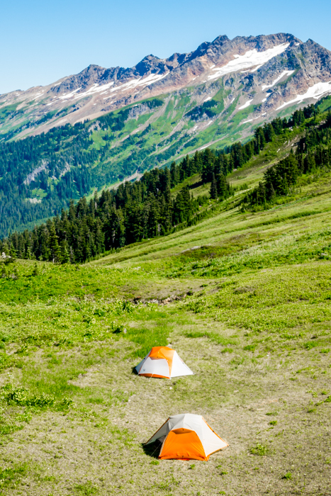
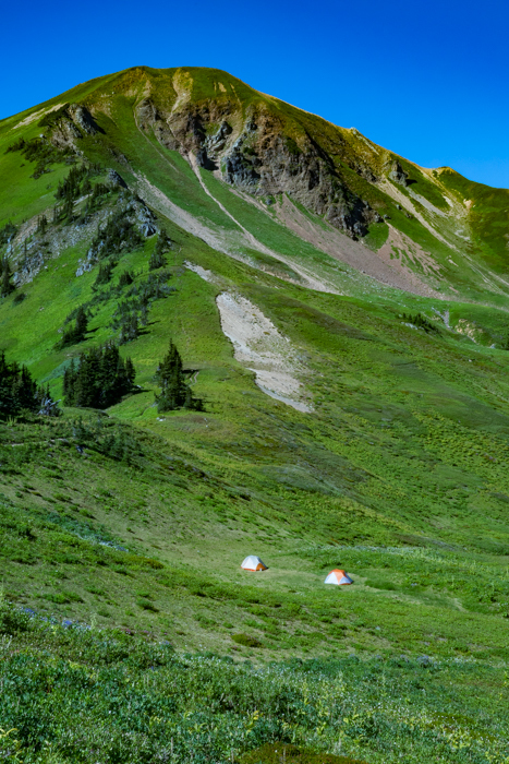
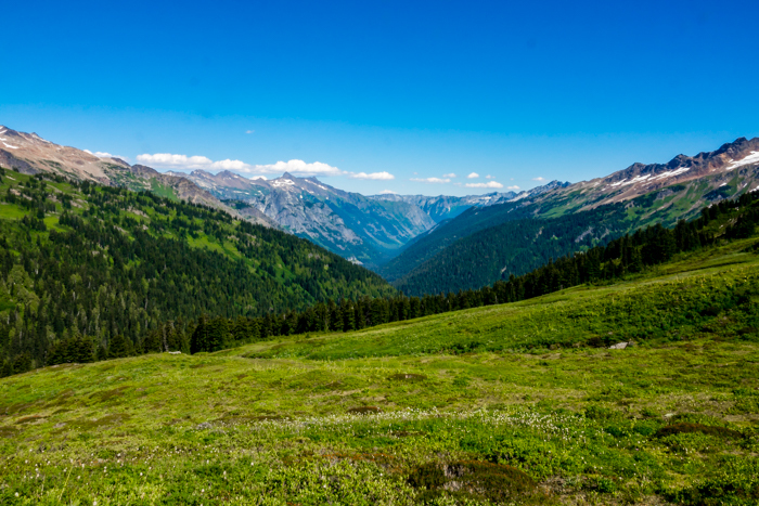
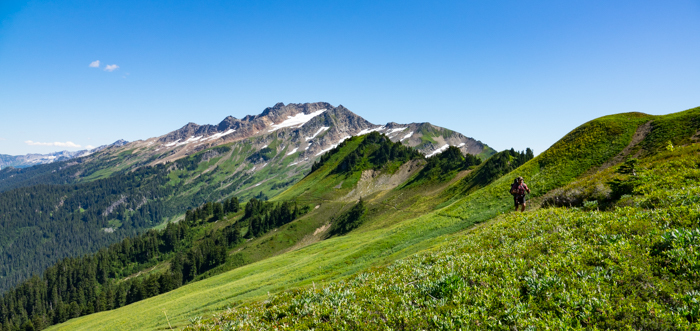
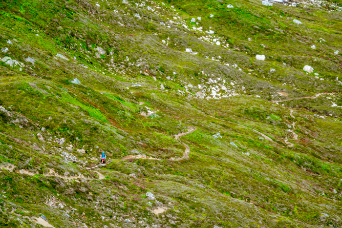
Are you tempted to disappear with your backpack into the wilderness? I hope so!
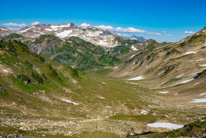
After White Pass came a late afternoon descent from Red Pass into the White Chuck River valley where we would camp by one of its tributaries.
to Mica Lake
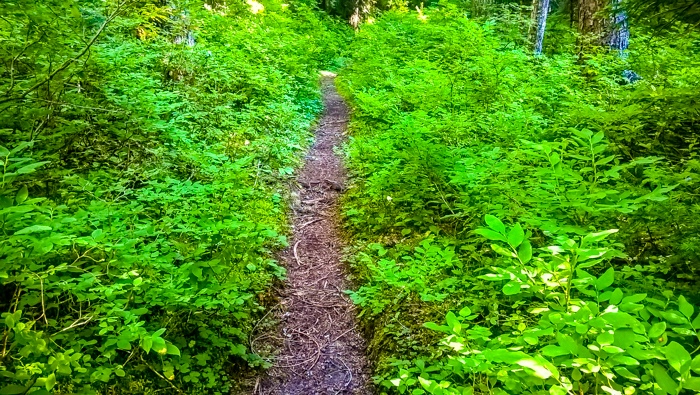
For the first several miles from camp, we were in the deep woods, filled with shade and wet underbrush. With the ten miles in the Suiattle River drainage, these were the only low stretches on the entire trip.
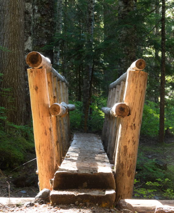
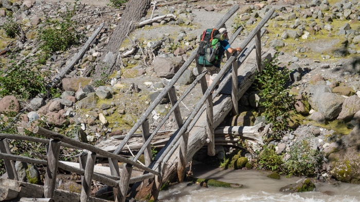
Bridges on different trails in different areas of the country vary greatly and interest me. It brings out the architect in me. Before switching to teaching, I studied for architecture in high school and college. My area of focus was solar and earth sheltered housing, but I could find no program for it after the Arab oil embargo of the 70’s faded away. After building my own house 15 years ago, I satisfy that design urge by looking at other structures. Trail bridges are of special interest. You can’t just bring in a truck and a crane. If nearby trees and rocks are not usable, then materials must be hauled in by pack animal. Every pound counts! I am impressed by some of these structures that had to be built by small groups solving many variables. All so we can walk over the water and keep our feet dry!
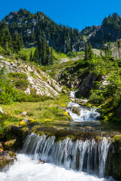
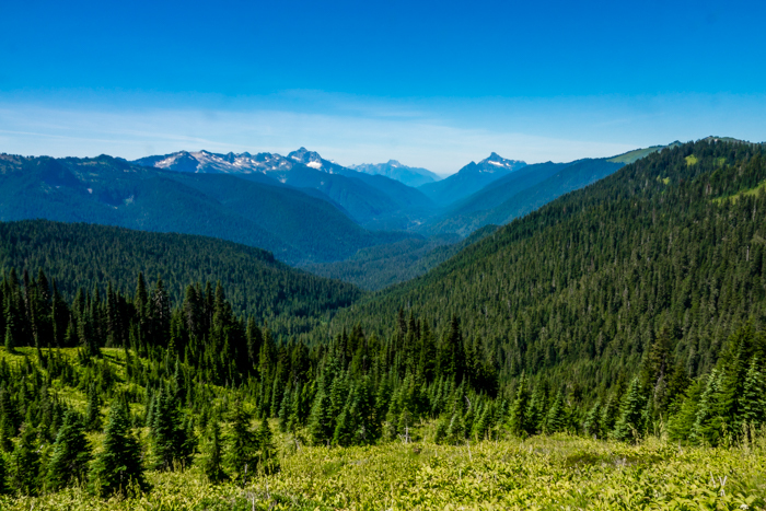
A couple hours of hiking brought us once again to the high ridges with incredible views and little treasures like mini-waterfalls tucked away here and there.
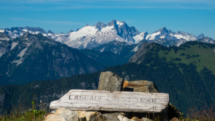
This Cascade Crest Trail sign might be over 50 years old! If I have my history right, this section of trail was incorporated into the Pacific Crest Trail back in the 70’s. Why the sign was left at Fire Creek Pass is a mystery to me, but it is a neat piece of history nonetheless.
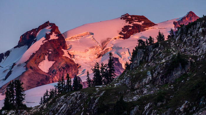
I approached Mica Lake at sunset and this was my view of Glacier Peak as I turned back east. It presents such a mix of beautiful peaceful colors in the quiet of the evening, and yet there is clear evidence of powerful forces shaping and carving the mountain.
to Miners Creek
I slept a little bit below Mica Lake in a small meadow. In the morning I awoke to ash all over my tent from the fire that was burning in a valley on the east side of Glacier Peak. Because it was contained by a wall of rocky topped ridges, it was left to burn itself out. Since the second day of our trip we had seen smoke drift this way and that, as you may have noticed along with bugs in some of the photos. Now that I was approaching the north side of the mountain, the smoke was heavier. It made for a great sunrise. But before getting back on the trail, there was business to take care of. A little sign carved with “toilet” was at the bottom of a path over a little hill. After getting on the other side of the trees, the view opened up northward over the Milk Creek valley.
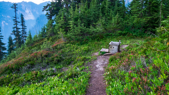
Why not enjoy a fabulous view while sitting on your throne!!
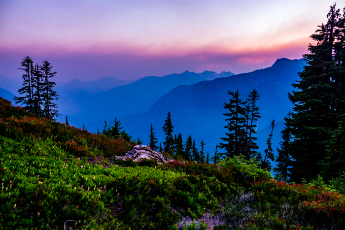

I have no pictures of Glacier Peak today for two reasons: too much smoke, and too close. After winding down to Milk Creek then winding back up, the trail traverses the northwest flank of this dormant volcano. Snow fields and crevassed glaciers are in your face. (I suppose I should have taken pictures of that and not worried about getting the whole mountain. Sigh.) For about 5 miles you feel like you are walking on top of the world!
While eating an early lunch at the top of the climb out of Milk Creek, Nobody’s Friend caught up to me and we chatted for a while. Along with several others, he was one of the people I was playing leap frog with. Now I had a chance to ask my question. “You seem nothing but a friendly person. Why are you nicknamed, Nobody’s Friend?”
The story took place several years ago in the Sierra. A buddy of his was hiking there when a ranger asked him for his trail name. The humble introvert replied, “I’m nobody.” A few days later this guy comes through the same place with the same ranger. While they chatted the ranger discovered that these two guys were friends and blurted out, “You’re Nobody’s friend!” The rest is permanently etched in the annals of trail folklore!
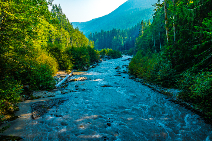
After traversing around Glacier Peak, there is a third set of switchbacks that takes you down to the Suiattle River. In this 20 mile section of trail you descend over 8500 feet and climb over 3500 feet. It is often declared as tough or tougher than any section in the Sierra! It is definitely a knee killer!
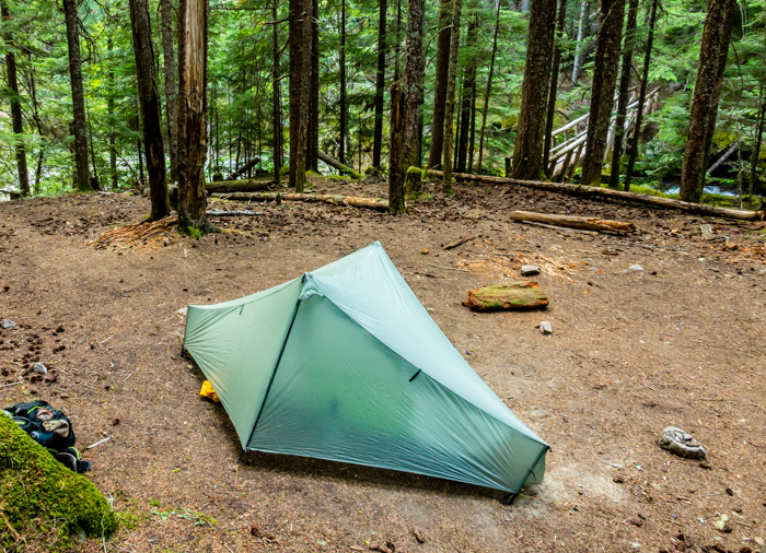
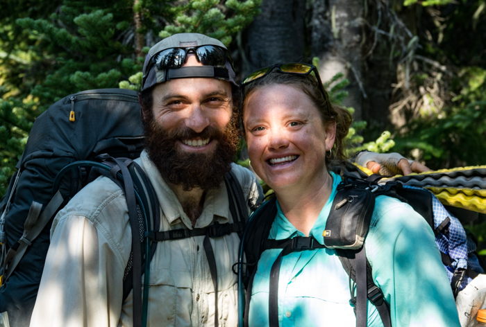
Right at sunset, I set up my tent at Miners Creek. While washing in the creek guess who should come along but Andy and Laurie! I had been following their blog since they started at Campo and now I felt like I was meeting celebrities. They are the nicest, warmest couple I have ever met on the trail. They camped next to me and we walked and talked together the next morning. I told them how I really like the way they close each of their blog posts with two things they are thankful for that day. Also, another glimpse into their personalities was provided a month later when Andy proposed to Laurie with a candy ring. Why? Because that is what she had dreamed of! She ate it within a mile. That was a definite YES!
to Hemlock Camp
It was now Sabbath morning and it dawned clear and blue like all of the other days. Today was a slow day. I wanted to do as few miles as possible, otherwise the trip would finish too soon. Reaching the shoulder of the ridge above Miners Creek, I entered smoke territory once again. I was able to get a shot of the peak above the smoke before it became hazy for the rest of the day. Sitting on a rock looking southeast towards the smoke and sleeping under a bush, I waited for Abel to catch up. A little Bible reading and contemplation was perfect for the soul. Nothing like a Sabbath in the middle of the wilderness with no deadlines and no need to get back to the car before dark! This was truly a taste of heaven.
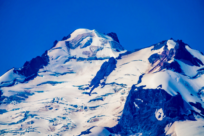
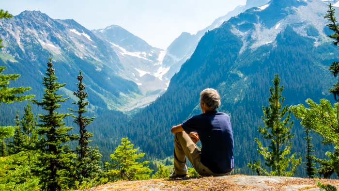
The trail gradually turned from its eastward circuit around Glacier Peak to head northward to the Stehekin River and ultimately, Canada. We began the long, gradual descent that would bring us to High Bridge the next day.
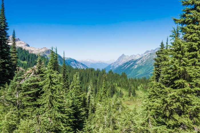
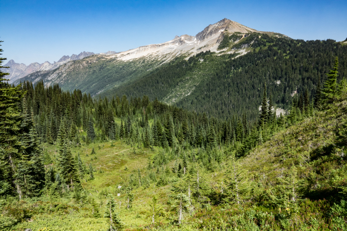
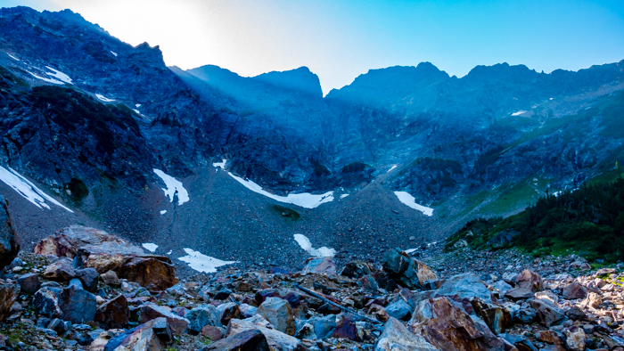
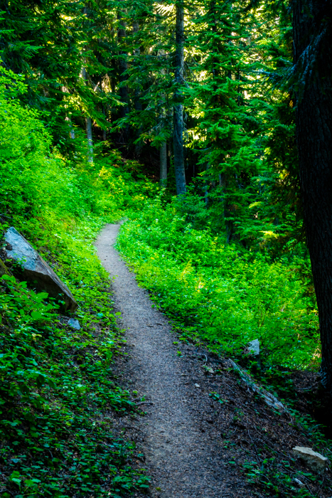
My thoughts and our discussion that day centered around journey and destination. You have heard the saying, “It’s all about the journey.” But I’m not so sure. It seems to me that the destination gives meaning to the journey and the journey gives meaning to the destination. After all, if we journey without a destination, then we are going in circles. How long would we continue hiking like that? And if it is all about the destination, then why not fly from Mexico to Canada?
I conducted this thought experiment. One person starts hiking at Campo on the Mexico border. Another person starts at Rainy Pass on highway 20, the last highway only 60 miles from Canada. They both reach Monument 78 at the same time. Which person invests more meaning into that piece of metal on the border? The journey gives meaning to the destination and yet the journey is meaningless without the destination.
To be fair, my example is oversimplified. What if the person starting at Rainy Pass is a first time backpacker and the thru hiker has completed the trip 3 times already? What if the Rainy Pass person is also really old, and recovering from injury? Perhaps, this is why it is best for all of us not to compare ourselves to each other and just HYOH–hike your own hike.
I see a natural application to life in general. LYOL–live your own life. We each have our own God-given talents, personalities, resources, responsibilities, and opportunities. Where ever we choose to get on or off one of the many trails of life doesn’t matter. Whenever we are together we can walk side by side and enjoy each other’s company, learn tips and tricks from one another, and help each other when we inevitably stumble or run out of resources.
to High Bridge
Sunday was our last day and it was only a half day. We didn’t want the hike to end, but we also did not want to miss the bus and wait hours for the next one. With a rapid, but not rushed, pace we continued down the Agnes Creek valley.
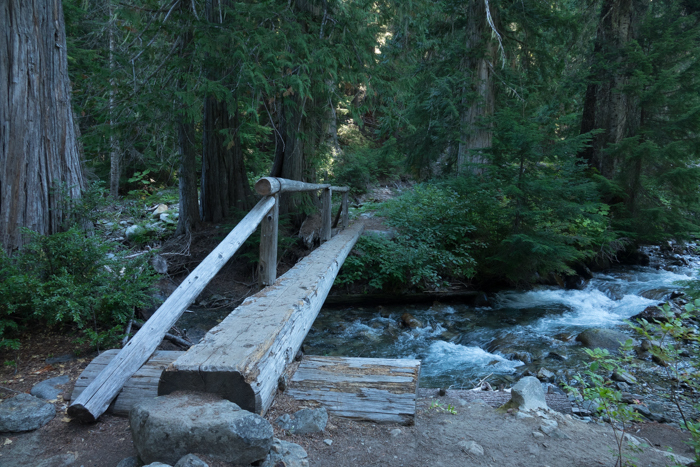
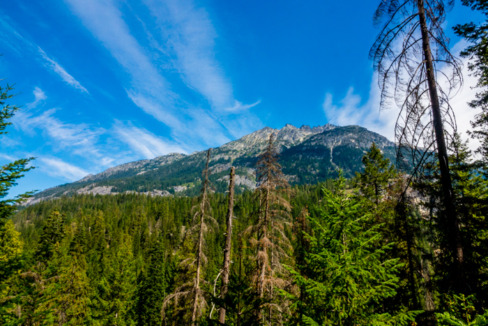
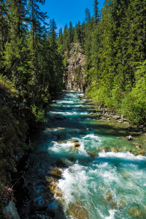
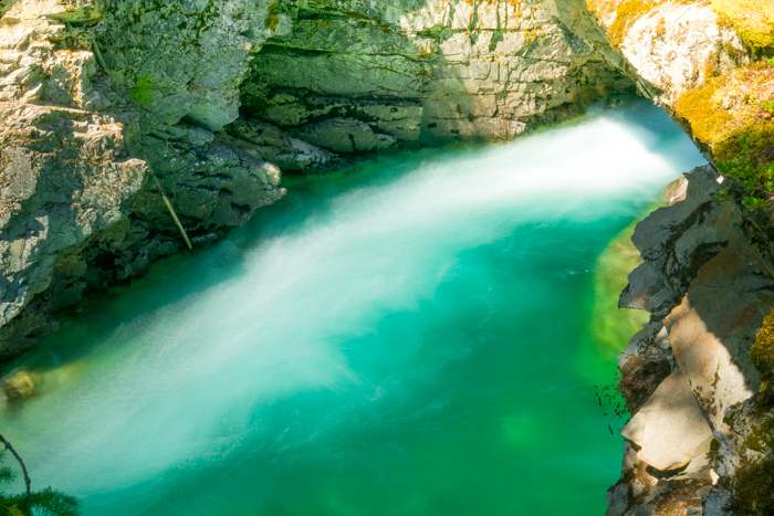
At last we crossed two bridges at the junction of Agnes Creek with the Stehekin River.
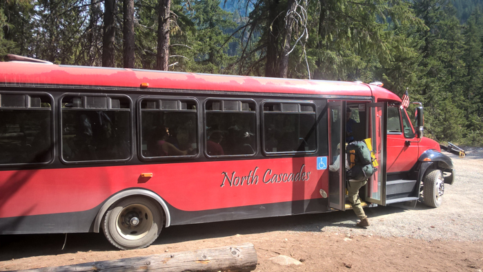
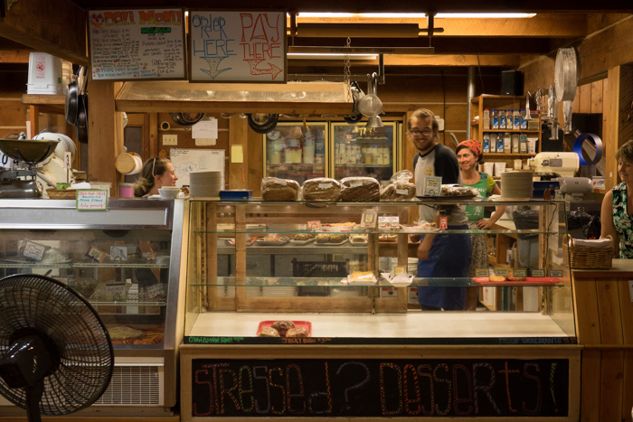
We waited about half an hour for the bus to take us about 10 miles down to the town of Stehekin on Lake Chelan, but not without a stop at the famed bakery first.
And so our hiking came to an end. Abel completed his last miles to fill in the gap on his 2650 mile backpacking trip on the Pacific Crest Trail. We sat on the deck of the restaurant that evening and the next morning overlooking the lake. We ate and talked with other hikers, shared stories and memories, and planned for the next trip.
Reflections
In some ways the trip was only a week, not a month or a season. In other ways, it was a whole week, not a day or a weekend. Either way, for a little while, life was simplified down to the essentials: food, activity, shelter, relationships (except for family). Wake up. Walk forward. Enjoy. Sleep. Repeat. Simple! And I think it is in that simplicity that I most easily taste Infinity. The edifices of human scheduling and structures fall away into memory as my present is captured by green and blue, flora and fauna, earth and sky. And all of it on a scale vastly larger than anything we can build, and it is full of life which we are utterly unable to give. Nature–no, God through nature–gives life to me and all who seek respite from the steamroller of “civilized” survival. Throughout the journey over ridges, along lake shores, and around mountains I kept saying, “I don’t deserve this, but I am grateful for it.” Indeed, however time is measured we can all be grateful for the moments we have to escape into the great beyond where beauty thrives, freedom rejoices, and the soul exalts in wonder.
